State of the Chase Season 2021

Status
Not open for further replies.
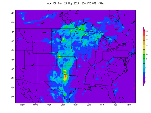
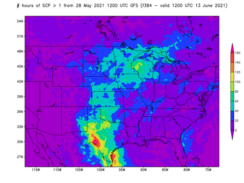
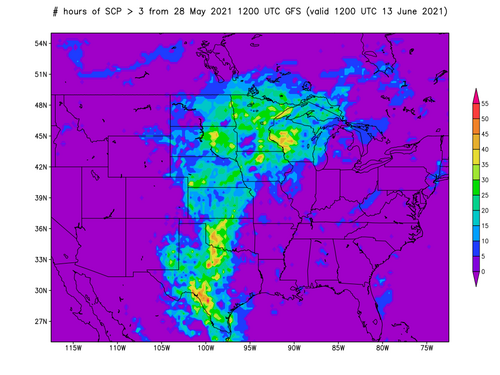
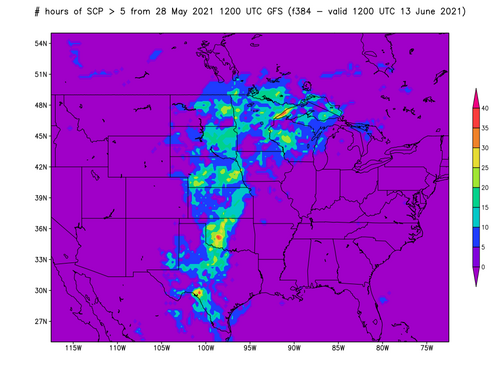
Looking more and more like late next week will mark the end of the Central / Southern Plains chase season. Been watching the ensembles closely and the trend is obvious, with a few, mid-week, NW flow events, typical of the transition. No doubt there will be opportunities in the Northern Plains and Canada when the jet retreats. Chase all you can for the next 5 or 6 days!
 
Today's 12Z deterministic and ensemble GFS were pretty stingy on severe-conducive environments. Not the kind of thing you want to see if you're starting a chase-cation from the end of May through the first half of June. Thankfully, the CFS is still here to save hope.

Maybe this will verify for many chasers???
CFSUS_con_scp_474.png
 

Attachments

  • max_scp.png
    max_scp.png
    156.5 KB · Views: 0
  • scp_gt1.png
    scp_gt1.png
    172.2 KB · Views: 0
  • scp_gt3.png
    scp_gt3.png
    180.3 KB · Views: 0
  • scp_gt5.png
    scp_gt5.png
    158.4 KB · Views: 0
  • scp_gt10.png
    scp_gt10.png
    144.6 KB · Views: 0
  • gefs_scp_stda_chiclet.png
    gefs_scp_stda_chiclet.png
    711.2 KB · Views: 0
Jeff Duda,

have you done much Verification with these models at all? I am curious because I know I haven't with models that go that far out, so I was curious on their general performance.
 
I just returned from another week in the plains, wasn't awful, but wasn't the best either. Still better than the weather we are getting back at home base (high of 47 yesterday with rain and low of 35 this morning....yuck). Liking what I am seeing toward the beginning to middle of June in extended range (after 6/6). Maybe we can at least get some ring of fire activity here in the Midwest. These 14+ hour drives are pretty crazy coming from West Central Illinois. Historically looking back on my chase records, June and July have brought me the most success, so I'm very optimistic here in the Midwest for a couple decent tornado days over the summer. Also its easier to enjoy a regular severe storm 10 minutes out the back-door than it is 14 hours away in Texas.
 
yeah, after staring more into some of the long range model guidance, the runs are pretty consistent over the last 3-4 days on the trough developing over the western U.S..I am getting more and more glad I swapped weeks.
 
I booked a flight home on Monday, instead of staying through next weekend. I can change it if the forecast changes, but right now it doesn’t look too good next week. I have no interest in putting so much time, money and effort into northwest flow events or table scraps in southwest Texas.

I did not go up to SE CO today. I was down in Odessa last night, and it was just too much to go 6-7 hours up to CO today only to come back down tomorrow. Now I am regretting that decision as I watch events unfold... If it could be known for certain that there would be a large tornado in SE CO, it may very well have been worth all that driving. But we can only make decisions based on probabilities, which makes chasing much like playing roulette... I guess viewed from that perspective, there is no reason to beat oneself up for a bad decision that is only bad with hindsight, because the outcome was unknowable at the time of the decision...
 
Regretting even more so that I didn’t go up to SE CO on Saturday - it seemed like too far to go from Odessa, only to come back down to SE NM on Sunday, but in retrospect I could have stayed up in SE CO for Sunday too...

I changed my flight from today (Monday) until tomorrow. Figured I might as well squeeze in one more day, since it will be my last chance until next year. Thinking of it as an extra, a “throwaway day,” so no pressure 😏 It’s “lame duck day” so need to stay within range of MAF for flight out. In Hobbs NM this morning and already booked a room in Odessa tonight. Have not set a target yet today but want to avoid going too far south, not just for travel distance but because road network around Fort Stockton is awful. Need to see how the outflow boundaries shake out after current morning convection moves through, but hoping I can stay roughly within an area bounded by Jal / Orla / Wink / Mentone, similar to my Friday 5/28 chase posted in the reports thread for that day.
 
Looks like the next uptick in activity could start as early as next Monday and continue through the week. I feel like once we get into June and July, daily chances for severe will be established anywhere from the high plains of WY/MT into the Midwest and over into New England per climatology. Up here at my place in the DVN (NWS Quad Cities) area, we have only had 1 severe thunderstorm warning for the entire CWA all year. This is the lowest value I can find on record to this point through at least 2000. An impressive statistic I wish did not have to exist for us lol.
 
That's a pretty amazing statistic for that particular item. have you noticed a correlation in the number of thunderstorm days as well? or was it just the severe warned not being inside the CWA.
 
Yeah, to me it certainly appears the southern high Plains have been the spot with anomalously active weather recently.
 
Does this debunk the thread "SPC Tornado Data - is Tornado Alley moving east?" all to hell?

No, not at all. The Southeast clearly gets more tornadoes than a simple drawing of tornado alley over OK/TX would represent :)

Plus it's like taking a cold day and saying global warming is a hoax. Tornado Alley is a climate thing - annual variations are expected.
 
Well , tomorrow I'm headed out west. Short term upper level pattern looks somewhat favorable in the Dakotas , Ern MT on the 7th 8th as of this moment and the last few runs on the mid range models.. after that maybe some Ern WY/MT on the 8th/9th . mayyyyyybe something on the 11th in Wrn NE. the shortness of this upper trough digging down before the models want to rebuild the ridge again... has me skeptical entirely.. but I'm gonna make the most of it. if you guys see anything worth taking a shot at, let me know.
 
Status
Not open for further replies.
Back
Top