- Joined
- Apr 13, 2009
- Messages
- 81
New CPC outlook doesn't look good for May either.

- How would you say things are going so far with your forecast up to this point?
 e.
e.
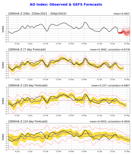
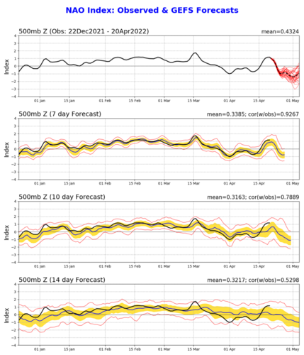
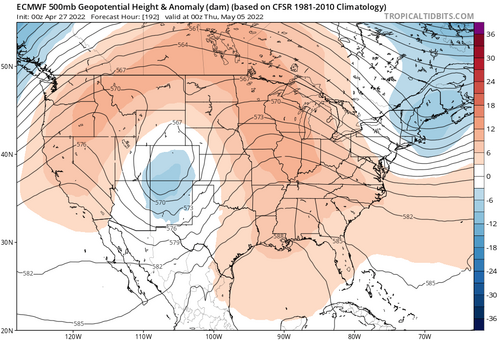
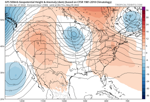
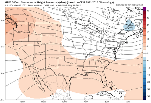
Well, a quick glance so far, March did perform rather well as I had mentioned. April perhaps a bit quieter but with our count still above average, that seems to track decently well. As others have shown, the upper pattern looks to become a bit less favorable for the next week or 2. if the projections about the upper pattern for May do develop, I suspect our average will dip. Weve been a bit busy here at SPC so haven't had a ton of time to look at everything yet. haha
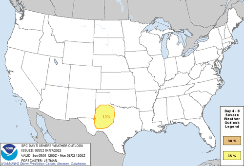
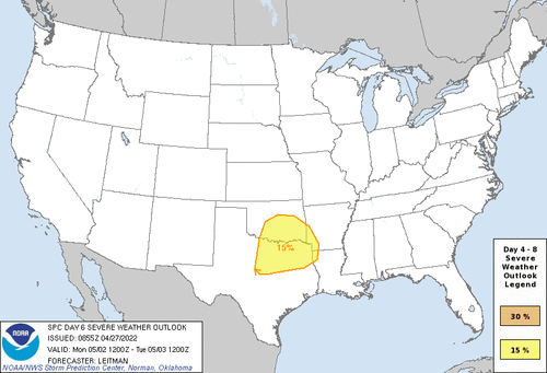
Looks like early next week could bring some decent days for the southern plains. The SPC is bullish on a day 5 threat for west TX and a day 6 threat for northern TX into eastern OK. Guidance also has a pretty potent shortwave in the Rockies next Tue/Wed with plenty of moisture to work with, although the GFS disagrees with the CMC/Euro on how long it’ll stick around. It’ll be interesting to see what we can get out of this time frame.

Multiple days of solid potential for the southern plains chasers.
We will sit up north and continue to freeze and live vicariously through you.
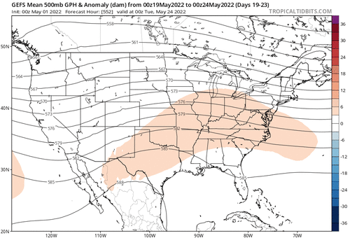
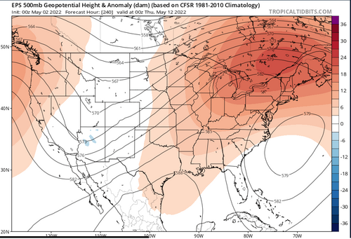
Large scale patterns still aren't ideal and long range outlooks are still somewhat depressing but enjoy this window of opportunity.