To everyone's shock, the Dakotas ripped off yet another tornado bonanza today (2025-09-14) on an extremely non-traditional low-LCL, high-SRH setup that looked more like something you'd see in the Midwest.. or even during the extratropical transition after a hurricane landfall. Multiple tornadic storms spanning from late morning to sunset, several producing multiple NNW-moving hogs. It doesn't appear any were especially photogenic, although a few of the grungy wedges were visible from several miles away and had prominent debris. Regardless, the fact that this 2025 hotspot since June continues to hotspot -- even after multiple lulls and total pattern resets -- is crazy.
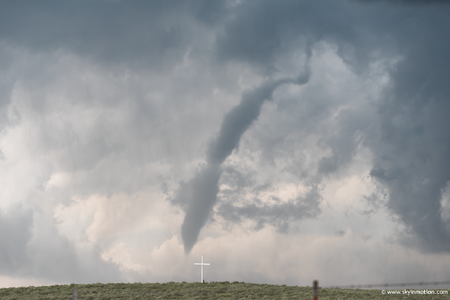
On a different note, I nabbed the brief and unremarkable tornado on the OK/KS border NNW of Woodward on 2025-09-08 that Andy mentioned above. The foreground was a complete coincidence -- just happened to be there north of the dirt road I was cruising down at the time, which I find amusing.
View attachment 28150

 )
)


