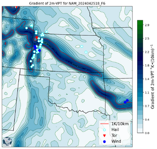
2024-04-25 EVENT: TX/KS/OK/NE/CO

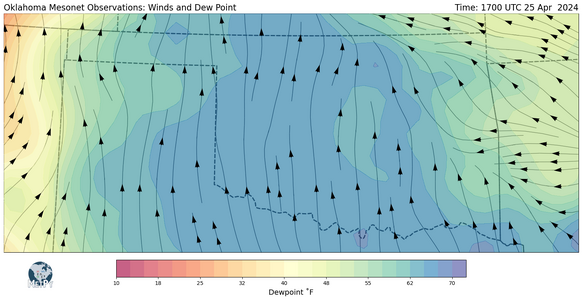
Here's the 17Z OK Mesonet data--you can make out the dryline to the W and the warm front across NE OK.

I had to add 17Z METAR to points outside the OK border to get smooth, sensible contours across the entire map area. But inside the OK border it's just the OK Mesonet data.

No boundaries are evident in this display... :)
1714066584389.png
 
Surface low is really starting to deepen as mid/upper jet begins to cross into the lee of the Rockies. Down to 998mb near LaJunta, CO. The warm front shows up nicely on vis satellite. Really like the insolation we are getting over western Kansas. So far, things look to be headed in the right direction.
 
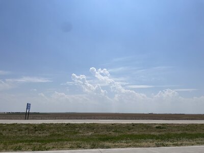
Low DP's and cap seems to be nuking things ATM. It will be interesting to see what happens in the next two hours.

Yet another potentially "insane" daytime event that busted. Us "at home" chasers can now take a deep breath. I don't remember another year in over 36 years of chasing that had so many fails. I can only **guess** some drought-related (EML) element is messing with things or forecasting is retrograding.

Postmortem time.
 
Last edited:
Low DP's and cap seems to be nuking things ATM. It will be interesting to see what happens in the next two hours.

Yet another potentially "insane" daytime event that busted. Us "at home" chasers can now take a deep breath. I don't remember another year in over 36 years of chasing that had so many fails. I can only **guess** some drought-related (EML) element is messing with things or forecasting is retrograding.

Postmortem time.

EML + late trough + it seemed like the trough kinda flabbed out a bit rather than tightened as it moved Eastwards? I'm pretty inexperienced so could be well wrong!
 
Back
Top