• While Stormtrack has discontinued its hosting of SpotterNetwork support on the forums, keep in mind that support for SpotterNetwork issues is available by emailing [email protected].

2025-03-14 EVENT: MO/AR/IL/IA/TN/MS/LA

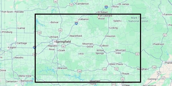
I should point out that the successive past several runs have given some indications, when compared to short term RAP meso-analysis/fcst currently seems to favor a bit further south ( Tail-end-Charlie ) where the air is a little less convectively disturbed / disrupted and a little better DP moisture nosing. The obvious main issue of trafficability, views, tree blockage as you're a lot closer to and inside the Mark Twain and Ozark forests. Now, I personally haven't chased in the Springfield, Branson, West plains area before, so I can't speak to the local terrain and views that locals might know better to say if that area is really a viable safe or worth it, option.
 

Attachments

  • chase area.jpg
    chase area.jpg
    84.6 KB · Views: 11
Last edited:
Completely agree. If I were at SPC, I would have it "high risk" 60 miles either side of a line from 30 mi NNW of UIN to 50 SSE of STL. Farther south, the tornado point probability will be lower but strong tornadoes are likey after 10pm.

I would also be forecasting a high risk Saturday.

I'm really worried about the casualty toll from this 2-day event.
Looks like we sneezed and SPC perked up, the high risk is there now for Sat.
 
Not sure how you chase this:

AT 730 PM CDT, A SEVERE THUNDERSTORM CAPABLE OF PRODUCING A TORNADO
WAS LOCATED NEAR WILLIAMSBURG, OR 12 MILES SOUTHWEST OF WELLSVILLE,
MOVING NORTHEAST AT 75 MPH.

That is the big issue with these, especially in largely-wooded terrain, but if I still lived in the St. Louis area I would probably be out there trying.
 
Last edited:
Two nighttime EF-4s in Arkansas according to NWS Little Rock:
* A high-end EF-4 tornado near Diaz in Jackson County had peak windspeed around 190 mph &...
* A lower-end EF-4 storm near Larkin in Izard County had strongest winds likely ~ 170 mph.
 
Wow, John, thanks for posting!

In my twitter coverage Friday evening, I emphasized the tornado was pass over or near Lambert. I can't believe they let air operations go on!
 
Back
Top