State of the Chase Season: 2016 Edition

If the 4KM NAM/GFS is to be believed, then Thursday could foster a favorable setup for a few tornadoes in E IA/IL. We will have to wait and see though. Overnight convection can severely alter the overall setup for any given day this time of year. So looking even 2 days out, is fairly tricky, when trying to asses severe weather potential in these areas.
 
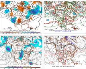
Figured I'd dust off this thread with a half-decent trough progged to swing through the central and southern Plains out in the 192 hour fantasyland. Not really in the "chase season" anymore, but this thread is as good as any to maybe discuss a bit.
 
It's been pretty consistent for several runs of the GFS now, albeit with large swings in mesoscale details, well more than expected at this forecast range. Definitely worth keeping an eye on.
 
I'll just leave this here...

I should preface this by saying that the moisture return isn't ideal, but there still is a decent amount of CAPE along the W half of the LLJ axis with obviously strong dynamic support.

7020d4994aa7f028bd93fdd49afc01ee.gif
 
Last edited:
I started an event thread in target area for those interested. Liking what Im seeing so far with consistency. We have a few mesoscale details to work out but we have a few more days for that. Happy to back here after a boring summer.
 
Well, yesterday still ended up better than I had expected from October, but that late initiation roughly 45 minutes before sunset near Apache was an absolute killer considering how well that storm matured into the night. Looking like that was our last significant trough within a reasonable range and Thursday looks like a linear crapfest up on the cold front.
 
Back
Top