June 2006

Am I the only one... or do the prospects for next week seem to be picking up? Ridge starts to flatten out this weekend (6/10), and then:

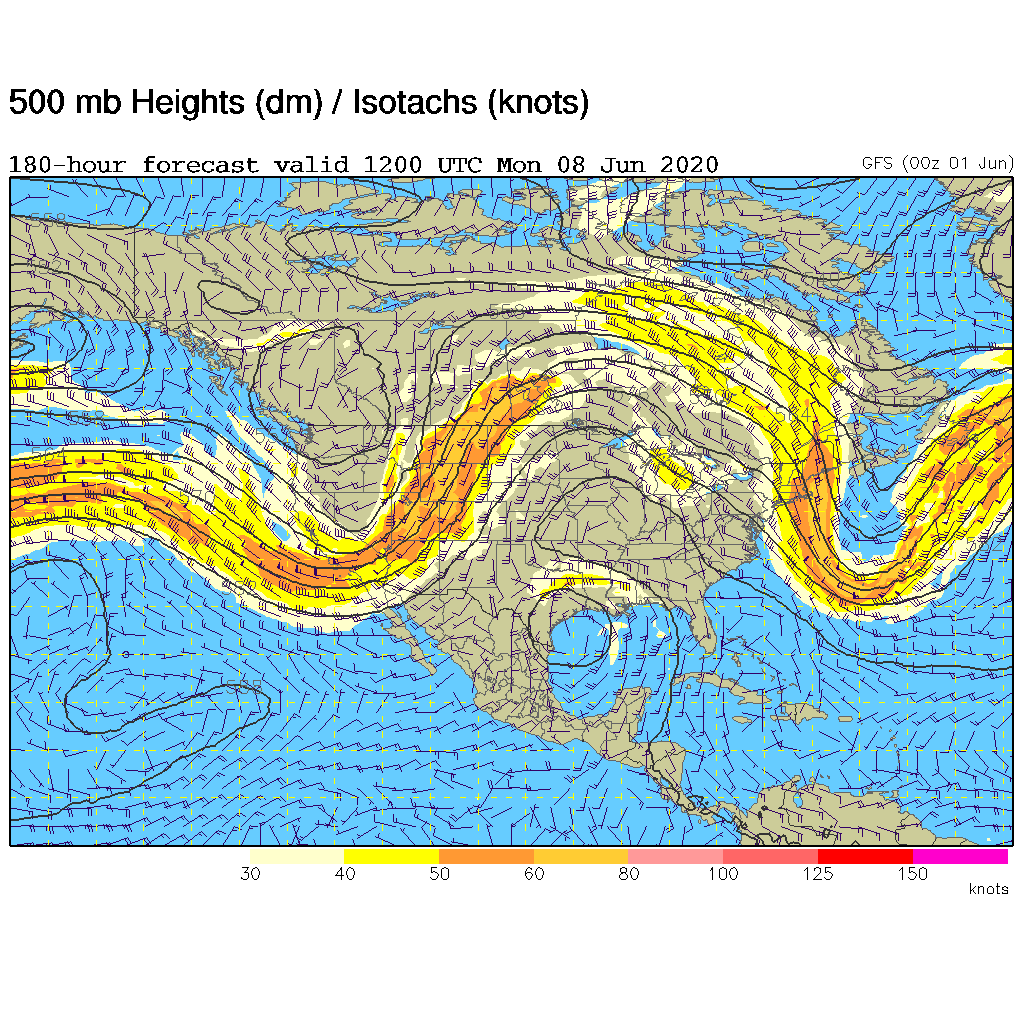
http://www.rap.ucar.edu/weather/model/gfs180hr_500_wnd.gif

http://www.rap.ucar.edu/weather/model/gfs180hr_sfc_dewp.gif

gfs180hr_500_wnd.gif
 
I must admit that the 500 mb pattern for the next two weeks looks phenomenal, however the surface pressure and precipitation patterns remind me more of an overnight MCC/MCS pattern. The last two nights have featured MCC's and most of the precip in the 16 day GFS initiates over the foothills of NE Col and SE Wym north of the warmfront in upslope flow and then, as is climatological favored, is maximized during the overnight hours. This pattern may be highly favorable for supercells and tornadoes during the formative hours over the high plains
However I fear that conditions farther east will continue to be rather dismal.
 
Yeah, that 180 hour map looks awesome for the Great Lakes... That pattern would likely produce widespread severe thunderstorm activity and probably tornadoes across the Midwest and Great Lakes region (with the exception of MI, which seems to always miss out for some reason ... then again, Grillo's gone so storms might return lol ;)).

Well, too bad it's a 180 hour forecast, and not a 24 hour forecast lol... but with the flow going zonal and those nice jet maxes embedded, there should be a few nice MCS's (maybe even derechos) to fire everyone up.
 
June 12-16 I'm going whitewater rafting then spending the rest of the week in Pittsburgh with my family. That's the only time this spring that I can't go on a long distance chase!

Although, the way the 500MB progs are looking, Pittsburgh actually might not be a bad place to be for the later period of the pattern. Maybe a launching point for a chase or two in northern Ohio and then some lightning photography over downtown Pittsburgh!
 
The 12Z NAM (admittedly hot) breaks the cap near Topeka saturday late afternoon, with LIs of -14,
CAPE of 7000 (!) and helicities of 500. hmmm....as luck would have it i have off this weekend!
Not only that but fri-mon all look like decent chase opportunities, and the gfs 12Z (which departs from 15 of 16 00Z ensemble runs) puts a deep sfce low in KS next week! Could this be the long-awaited end of this horrific chase drought?? May have to move this to the forecast thread if things keep looking up. :)
 
Actually, I have been home since May 30th LOL...

Originally posted by rdewey
Yeah, that 180 hour map looks awesome for the Great Lakes... That pattern would likely produce widespread severe thunderstorm activity and probably tornadoes across the Midwest and Great Lakes region (with the exception of MI, which seems to always miss out for some reason ... then again, Grillo's gone so storms might return lol wink.gif).

Nonetheless, I think next week could hold some nice chase ops -- starting this Friday in IA (and then perhaps Saturday in northern MO) where >500 m2/s2 0-3km SRH will exist near a warm front -- admist moderate (~30-40kts) mid-level flow and impressive boundary layer instability (with the NAM showing widespread 3500-4500j/kg SBCAPE) supported by robust low-level moisture. It'll be nice to see temperatures in the 80-85F range in a target area for once, and not 90-100F like we've dealt with for a while... Yesterday, in WI, temps were generally 75-80F (with 64-67F tds) and this existed where moderate (e.g. ~150m2/s2) 0-1km SRH accumulated, and we all see how that turned out.

A tight baroclinic zone will form by early next week (with a warm front setup likely on both Friday and Saturday) and I think there could be a few good ops. I have done ~13,000 miles (for very little) thus far, and I guess I will see 30,000 by the time Thanksgiving rolls around or so... :lol: :huh:... Nonetheless, I'd be ready to chase again -- starting Friday afternoon. Those GFS progs through mid-June sure look sweet!
 
The chasing in the High Plains hasn't been too horrible the last two weeks. I did manage to get in a mediocre chase May 24th, a decent one May 31st (when I saw my first tornado of 2006 less than 20 miles from home :) ) and then a decent one this past Monday. But all three of those events involved fast moving HP's, which chased me on the 24th and 31st and I had to really floor it to keep up with on Monday. I really would like to see some slower moving, isolated classic supercells and maybe a few tornadoes thrown in for good measure.
Jason McKittrick said:
I must admit that the 500 mb pattern for the next two weeks looks phenomenal, however the surface pressure and precipitation patterns remind me more of an overnight MCC/MCS pattern. The last two nights have featured MCC's and most of the precip in the 16 day GFS initiates over the foothills of NE Col and SE Wym north of the warmfront in upslope flow and then, as is climatological favored, is maximized during the overnight hours. This pattern may be highly favorable for supercells and tornadoes during the formative hours over the High Plains.[/b]
If this plays out as Jason has outlined it, I know what I'll be thankful for when Thanksgiving rolls around. B) I've seen this type of pattern before and everytime it emerges we have always have some awesome severe weather days in the northeast CO and western NE area. In the western High Plains, warm front + strong southeasterly upslope flow + phenomenal 500 mb pattern = TORNADOES! :D If the models are right, it looks like y'all further east are gonna have to pack up and haul west and chase in my corner of Tornado Alley :p ! Here's to some good old fashioned High Plains magic June 9-16! YEEHAW! :D
 
Well I pulled the trigger and I am back out next week. I was on my vacation ealier in the season, was out May 6-9 (was supposed to be out 6-15) came back early, saved the money, and I am rolling the dice (with that money) for the upcoming week. While things are not optimal, it does seem to be a change for the better. But of course the next run could switch everything up once again... never the less I'm gonna give 06 one last shot.
 
Back
Top