calvinkaskey
Guest
- Joined
- Feb 17, 2014
- Messages
- 384
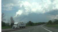
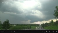
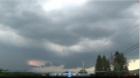
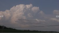
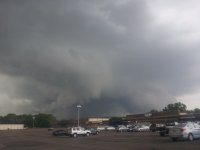
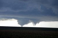
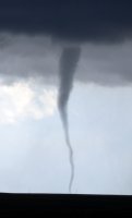
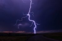
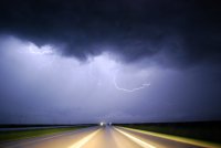
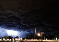
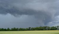
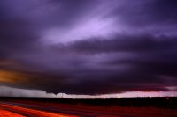
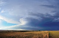
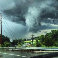
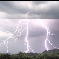
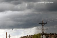
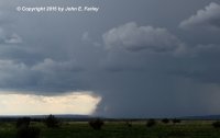
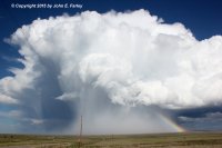
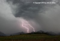
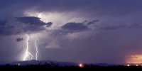
With the winding down of tornado season and near a midpoint in the northern part of the country let's look at the season so far. 1st Photo of rotating thunderstorm with landspout potential. Severe supercell with everything except tornado (ie rfd, rotating wall cloud, beaver tail, lightning), third is similar and same cell. 4th is a strong to severe thunderstorm blowing up near Frederick, Maryland, 5th is a supercell with hail up to golfball size and 60 mph winds with shelf and roll clouds in Binghamton, N.Y. Last was taken near Rochester, N.Y. as storms are over Lake Ontario after producing severe weather near Toronto and tornadoes earlier. Tornado count=0, Funnel count=0, hail up to about 3/4"-1", max winds observed 45-50.
Attachments
Last edited:

