Ethan Schisler
EF5
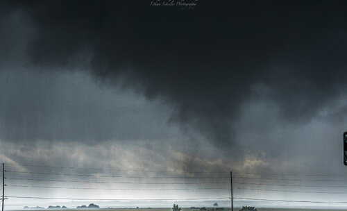
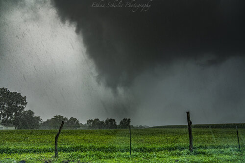
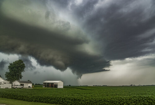
I decided to chase today given there was a 2% tornado risk in place and a surface low in Eastern Iowa with a large amount of 0-3km CAPE juxtaposed with high surface vorticity. I knew bulk shear wasn't very strong, so my target was far NW IL near Edgington near the Mercer/Rock Island County line. I arrived on a supercell near New Boston with a massive wall cloud, it did not take long for it to drop an intermittent tornado that lasted from 1:17-1:19PM, however it looked like there was intermittent touchdowns until around 1:25pm or so to my south. I was driving through and it was heavily cloaked in rain. The first tornado touched down about a mile to my SSW and moved directly E.
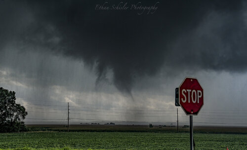
I repositioned east noting the potential of another rainwrapped tornado near Joy, IL (I could hear the waterfall noise, but make no visual other than rotating rain curtains). Finally N of Aledo, a thick rope tornado came out of the rain, I'm assuming this was the same tornado that had been in progress for a solid 10 minutes or so based on radar. The foreground was literally the best I could do as the more it became visible, the more it roped out, so I wanted at least SOME proof lol.
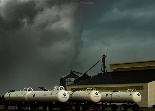
I turned back to the NW and saw a developing tornado about 2-3 miles NE of Aledo, IL which on radar showed a very tight couplet, small CC drop, and very nice spectrum width. It quickly cloaked in rain after touching down (1:55PM-1:59PM). I noted some more tree and crop debris. I intercepted again around 2:02PM as a multiple vortex tornado about 1/2 mile to my W in the field. I got some crappy video of it, but I believe it to be the same tornado dissipating.
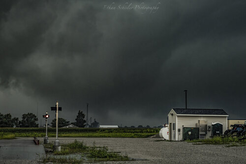
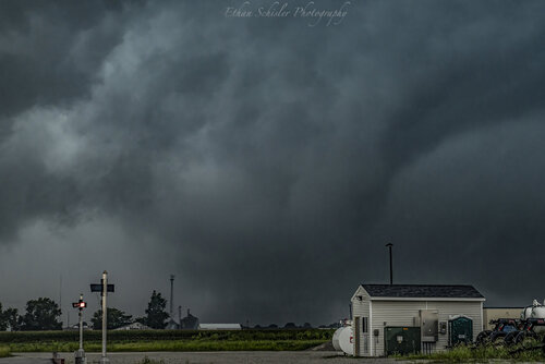
The tornado continued at me NE of Aledo and was throwing corn debris and then roped out around 2:05PM
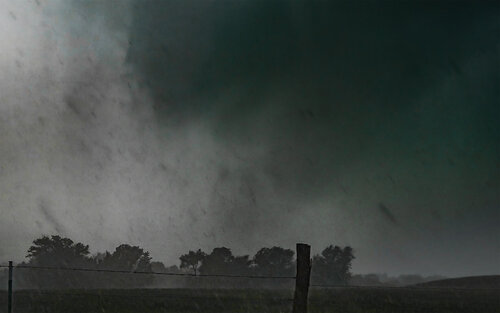
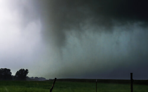
The storm took on a high precipitation look and become very outflow driven, I got blasted by about 60 mph winds heading south toward Alpha, IL and home. I arrived back at my house in Macomb around 4:30pm after seeing a total of 3 tornadoes that I could confirm.
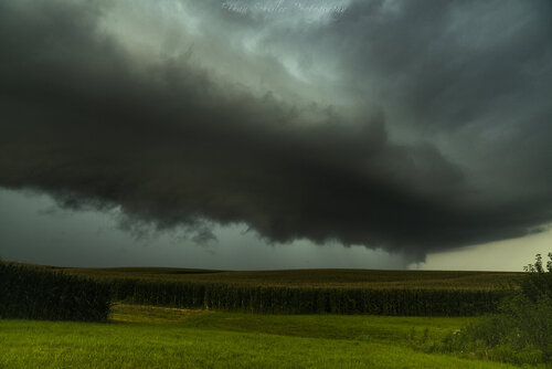
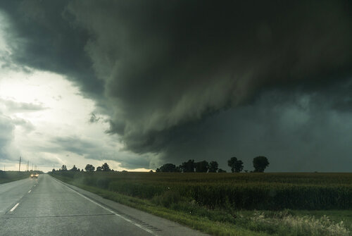
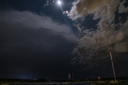
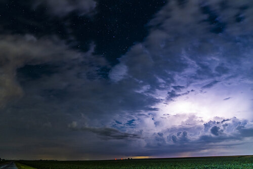
The day did not start off uneventful etiher, I photographed this photogenic thunderstorm around 3am near Macomb, IL too....
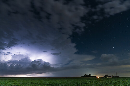
These Midwest summer low end days really are my favorite days. I'm happy I was able to provide reports to KDVN and allow them to issue tornado warnings as it seemed I was the only chaser/spotter in the area at the time according to their office. Great day.

I repositioned east noting the potential of another rainwrapped tornado near Joy, IL (I could hear the waterfall noise, but make no visual other than rotating rain curtains). Finally N of Aledo, a thick rope tornado came out of the rain, I'm assuming this was the same tornado that had been in progress for a solid 10 minutes or so based on radar. The foreground was literally the best I could do as the more it became visible, the more it roped out, so I wanted at least SOME proof lol.

I turned back to the NW and saw a developing tornado about 2-3 miles NE of Aledo, IL which on radar showed a very tight couplet, small CC drop, and very nice spectrum width. It quickly cloaked in rain after touching down (1:55PM-1:59PM). I noted some more tree and crop debris. I intercepted again around 2:02PM as a multiple vortex tornado about 1/2 mile to my W in the field. I got some crappy video of it, but I believe it to be the same tornado dissipating.


The tornado continued at me NE of Aledo and was throwing corn debris and then roped out around 2:05PM


The storm took on a high precipitation look and become very outflow driven, I got blasted by about 60 mph winds heading south toward Alpha, IL and home. I arrived back at my house in Macomb around 4:30pm after seeing a total of 3 tornadoes that I could confirm.

The day did not start off uneventful etiher, I photographed this photogenic thunderstorm around 3am near Macomb, IL too....


These Midwest summer low end days really are my favorite days. I'm happy I was able to provide reports to KDVN and allow them to issue tornado warnings as it seemed I was the only chaser/spotter in the area at the time according to their office. Great day.
Last edited:

