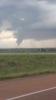
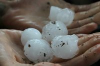
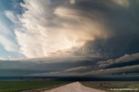
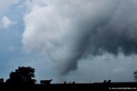
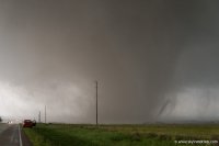
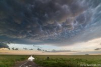
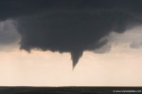
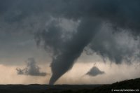
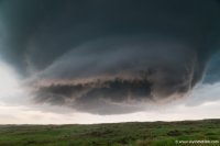
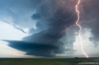
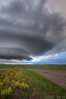
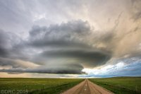
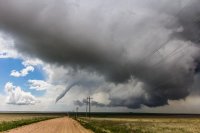
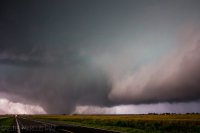
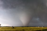
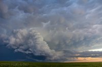
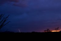
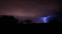
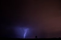
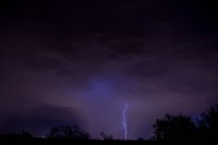
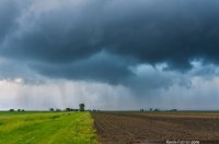
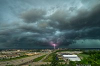
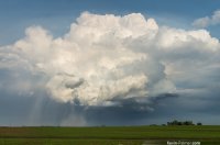
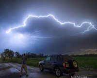
Being limited to an area between the Mississippi River and Ohio puts me at a distinct disadvantage. However, there have been some events in my neck of the woods and I was able to take some decent photos. Here are some of the more memorable ones for me. I don't currently have a DSLR (Long story) so these aren't up to the quality of some of the others, but for a phone, I think they turned out all right.

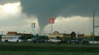
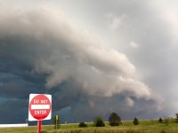
NE Illinois June 7th. Tornado warned cell, photo taken at an exit ramp. I didn't plan the sign placement, but I think it makes a rather benign photo a bit more chuckle-worthy.

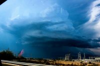
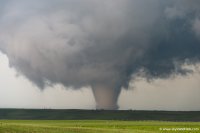
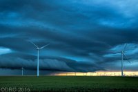
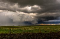
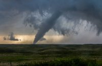
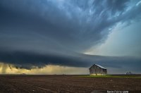
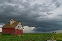
This is the HP supercell that spawned the Edgington, IL tornado as it drifted across the wind farms on 6/22. Nice CG in front of a still rotating base.

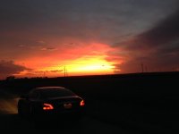
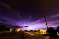
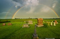
From this past Monday, July 13th. Sunset and my car in E Illinois as the Ottawa supercell dissipates. I just like the color and perspective with the turbines. It's not ALWAYS threatening skies, y'know.

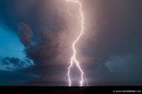
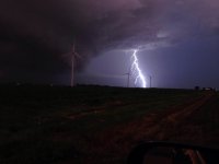
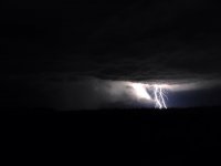
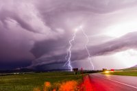
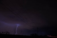
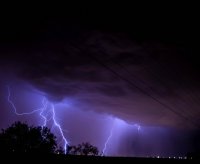
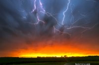
Twin CG strikes in front of a ground-scraping wall cloud in NW Indiana after dark on 7/13. I have several of these types of photos, since I usually have to go west to chase and the storms follow my track home. These bases look so menacing after dark, lit up only by lightning. I always feel incredibly alive being often not just the only chaser, but the only car on the road. When you strip away the convergence and traffic, not to mention the daylight, it takes on a very primal atmosphere; really makes it seem like the storm is performing just for you, and you alone. I love that feeling.
Disclaimer: At night, I'm usually on roads I know quite well, I give myself multiple options, I don't chase near urban areas, and the storms are usually dying out, are very predictable, or are isolated/non-MCS. I have yet to run into night convergence like I've seen in the plains and if I did, I would bug out. The point of night chasing, for me, is to be alone.

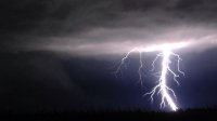
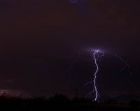
Massive CG strike, also from 7/13 in NW Indiana. This one is zoomed/enlarged a bit from the original.

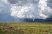
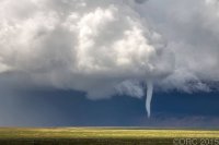
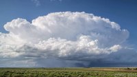
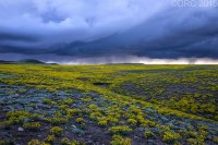
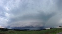
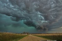
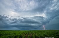
This last one isn't my favorite, nor is it even the best quality, but this was taken in SW Ohio where this type of structure isn't seen too often. I was on this storm as it initiated and stayed one step ahead of it as it cycled and garnered several tornado warnings. There were no touchdowns, but it was cool to have such a nice chase so close to home. Also, this photo got me a little bit of press when it was featured on every Cincinnati newscast the night of 6/29.

