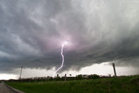
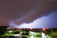
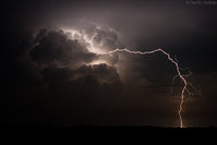
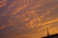
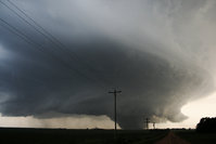
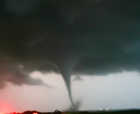
Post your best severe weather - 2014 chase season

Last edited by a moderator:
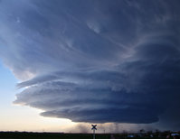
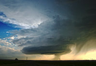
MAY 10th:Near Severy, KS
10286894_266684676849565_1121102500011731079_o.jpg


10497101_1442256676041830_7873072742853428249_o.jpg


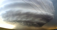
May 11th: Near Sterling, KS
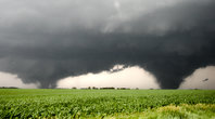
10495823_266239690227397_2226692645066091761_o.jpg


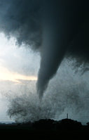
June 16th: Near Ericson, NE
1596698_267721013412598_4741915502597767771_o.jpg


10467124_268161593368540_2760437659362087944_o.jpg


December 14: west ks
10868011_321611864690179_2666421078828049879_n.jpg


And many more
 
It's utterly amazing, John Farley to see a tornado in such hilly terrain! And is that snow I'm seeing at the top of the distant hill?
Spectacular, all your shots!
 
Just to further induce my debilitating SDS and hopefully usher on spring, here are some of our best shots from 2014, severe weather of all facets:

A few of our better tornadoes:

April 28. Tupelo, MS EF3
full


A scary looking multivortex near Clay Center, NE on May 11:
full


The Pilger rope out becoming a satellite of the Wakefield EF4 on June 16:
full


Coleridge, NE on June 17 super wide angle:
full


Telephoto of the same tornado:
full


Some severe hail that gone thrown our way:

A baseball. June 21. Bowdle, SD on COD Trip 5. Photo courtesy Laura Hedien.
full


A few golfballs on June 3 in western NE. Photo courtesy Jennifer Brindley Ubl
full


Howling severe winds:

Dusty outflow on June 3 in western NE:
full


Western Kansas dust storm on June 27:
full


And a few pretty storms with lightning:

Twilight storm from the Joplin damage path on October 1:
full


Green air glow, milky way, and distant Badlands thunderstorm in central SD in late August:
full


A gnarly wall cloud with sparks on August 31 in southeast, NE:
full
 
I really enjoy these threads, 2014 was also good in some respects.

April 28th - Tornado warned from east of Nokomis Illinois.
140428_009.jpg

June 4th - Tornado warned from I-72/US 51.
140604_008.jpg

August 21st - Southern Illinois near I-70.
140821_006.jpg

August 23rd - Mammatus streaming northward from dissipating cell over Southern Illinois seen near Decatur.
140823_001.jpg

August 26th - Intense crawler action over Decatur from the same complex to produce sprites as observed from far NW IL.
140826_016.jpg

September 4th - Morning arcus over NW Macon County Illinois.
140904_001.jpg

September 9th - Another morning arcus over Logan County Illinois.
140909_002.jpg
 
Had a pretty decent season in 2014, here are some of the best of our shots from May 6th until June 23rd.

Severy (KS) Supercell from the 10th May

006_stitch.jpg

Henrietta (TX) Supercell from the 7th May

024_stitch.jpg

Scottsbluff (NE) Supercell from the 19th May

021.JPG
 
Part 2 moving onto the latter parts of May.

Roswell (NM) On The 23rd May

005.JPG

New Mexico again on the 25th May near Hobbs

015_stitch.jpg

Roswell again on the 7th June with some Insane Structure

033_stitch.jpg
 
037.JPG Finally the Insanity in Siouxland and South Central South Dakota

Pilger and Wisner Twins

096.JPG

Coleridge Wedge on 17th June

008.JPG

Later that evening the Dixon Tornado whilst 2 other tornades were on the ground at the same time

036.JPG

18th June the Lane/Alpena EF4 In South Dakota

037.JPG
 
Back
Top