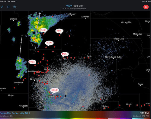
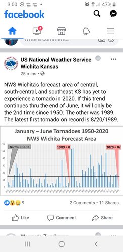
It's dead Jim. Starting to lose interest even looking at models.
I've only busted once this year as I was only willing to waste gas and time the one day on the chance for something discrete if cap could be broken. Missed the unexpected SW KS structure that over-performed.
I'm a passable but not great forecaster but these setups are mostly pretty obviously a mess well in advance. Tomorrow looks like a similar mess to today, perhaps slightly less sloppy with a borderline ok hodograph off the somewhat defined dryline and bulge near Kearney, but veering at midlevels looks weak or backed.
Without normal moisture return for the vast majority of this spring everything else needs to be just right and it has not even been close on most days. Most setups are obvious straight to garbage: uncapped regions to the west with weakly forced initiation, with nuclear caps east, diffuse drylines or mixing out, sad T-Td spreads, weak veering with height or VBV, 500 and 700mB not veered and hauling, storm motion ridiculously fast, setups happening far from orographic lift.... there seems to always be something majorly out of order that prevents anything decent and most often it seems to be wind profiles and moisture return or both. I guess I'm the master of the obvious stating all that, but I am actually surprised how many people are out chasing these events and what looks to me like following intense colors on a map like supercell composites, SPC risk areas, etc without looking at the obvious problems on setups that look destined to bust hard even to an amateur like me. Then again as already said, maybe people are just stir crazy to be out and don't care.
Something is off with the jet stream like it was last year, only it is worse this year, and last year there was at least seasonally expected moisture in place. I wish I knew enough to understand why, but until the jetstream returns to some semblance of normal operation, I am afraid these problems will persist.