Deterministic and ensemble output from the main global centres are pretty consistent with the notion of a powerful Pacific jet developing through mid-late week next week...models are not that great at handling the eventual collapse of such a jet into a tough/series of troughs - and so we should still expect to see shifts in timings/locations of any eventual collapse.
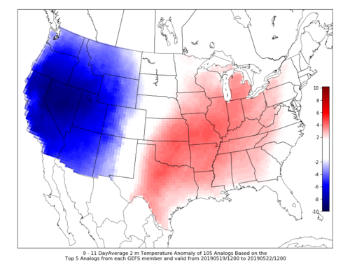
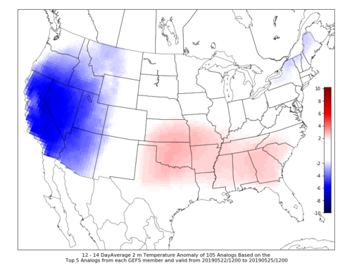
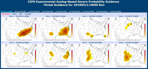
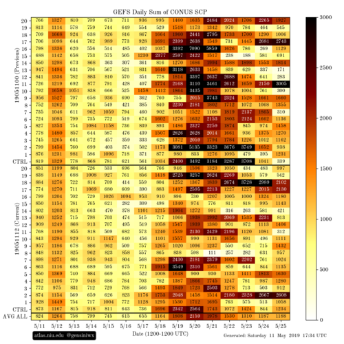
However, as others have said, later next week/through the weekend/into the w/c Mon 20th May, it seems fairly plausible that some form of trough/circulation will translate from the W Coast into the mid-section - but it's too early to say whether this will be in the form of a stronger southern stream (and consequential risks across the southern Plains) or a larger trough, which might open up a more classic multi-day dryline then front set-up.
Beyond that - well, given the uncertainties in the evolution due to what I've mentioned above, it's very tricky...if that is the collapse of the jet then we should expect a more blocky pattern to develop - then, it depends on how this is orientated - if we have a ridge over the SE states then we could have a slow-moving trough to the SW - meaning some multi-day High Plains fun - on the other hand, we could get a trough-ridge-trough pattern, which would be not such good news.