Brandon Centeno
EF1
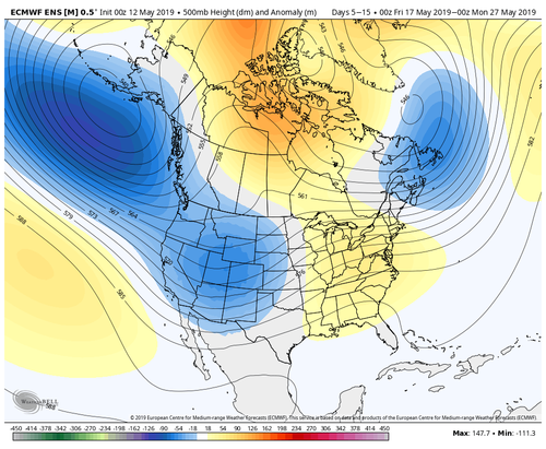
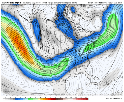
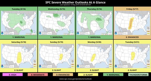
The upcoming pattern looks quite favorable for a prolonged stretch of severe weather, with multiple days of significant severe weather potential likely.. A potent 150+ knot upper level jet that has tracked across the Pac ocean will finally undergo breakdown as it nears the US W coast. The result will be a deep longwave trough setting up over the W US. A very strong belt of SW flow should set up next week after the lead wave passes through this weekend. Extended chase opportunities with likely a few significant severe weather events will unfold, barring any drastic changes to the pattern. 10-day height anomalies tell the whole story.
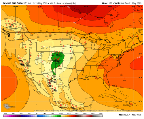
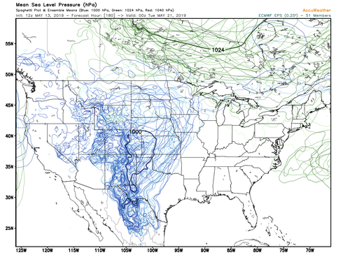
The weekend could feature mostly MCS-like patterns but mesoscale details will work those out. I think the main show holds off until Monday at the earliest, but again I think that next week will feature several sig severe weather days. GEFS is probably too amplified with the ridge, so wouldn't count out KS. Time will tell.
The weekend could feature mostly MCS-like patterns but mesoscale details will work those out. I think the main show holds off until Monday at the earliest, but again I think that next week will feature several sig severe weather days. GEFS is probably too amplified with the ridge, so wouldn't count out KS. Time will tell.
