2/16/06 Midwest Snowstorm: WI/MI

Forecast models continue to be too far NW with surface low. 18z Nam had 6PM surface low near Colorado Springs and verification indicates surface low closer to Trinidad CO. Cold air remains in place across the central and northern plains with 8 PM temperatures around -10 in northern Minnesota and North Dakota and below freezing as far south as the Kansas/Nebraska border. Moisture continues to stream north from the Gulf of Mexico with 50 dewpoints as far north as Saint Louis and low 60 dewpoints along the Gulf Coast . Satellite continues to show an impressive circulation now moving through central Utah and 00z 500mb chart continues to show a closed circulation, something the models have never maintained, and 100m height falls still in the base of the trough at Las Vegas.

Caught a glimpse of the 00z NAM and it has more than doubled our QPF here in Omaha verses what it had at 12z and 18z. Still looks tome that parts of east central and northeast Iowa and southwest Wisconsin will be crushed. Assuming 15:1 some locations could see as much as 18" with some 10" amounts as far west as west central or northwest Iowa. Only limiting factor, as far as snowfall is concerned, with this storm will be its speed.

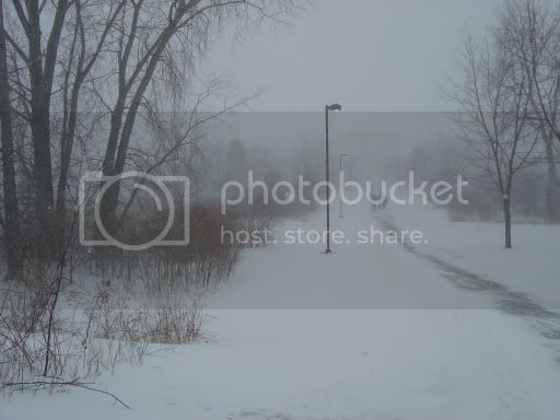
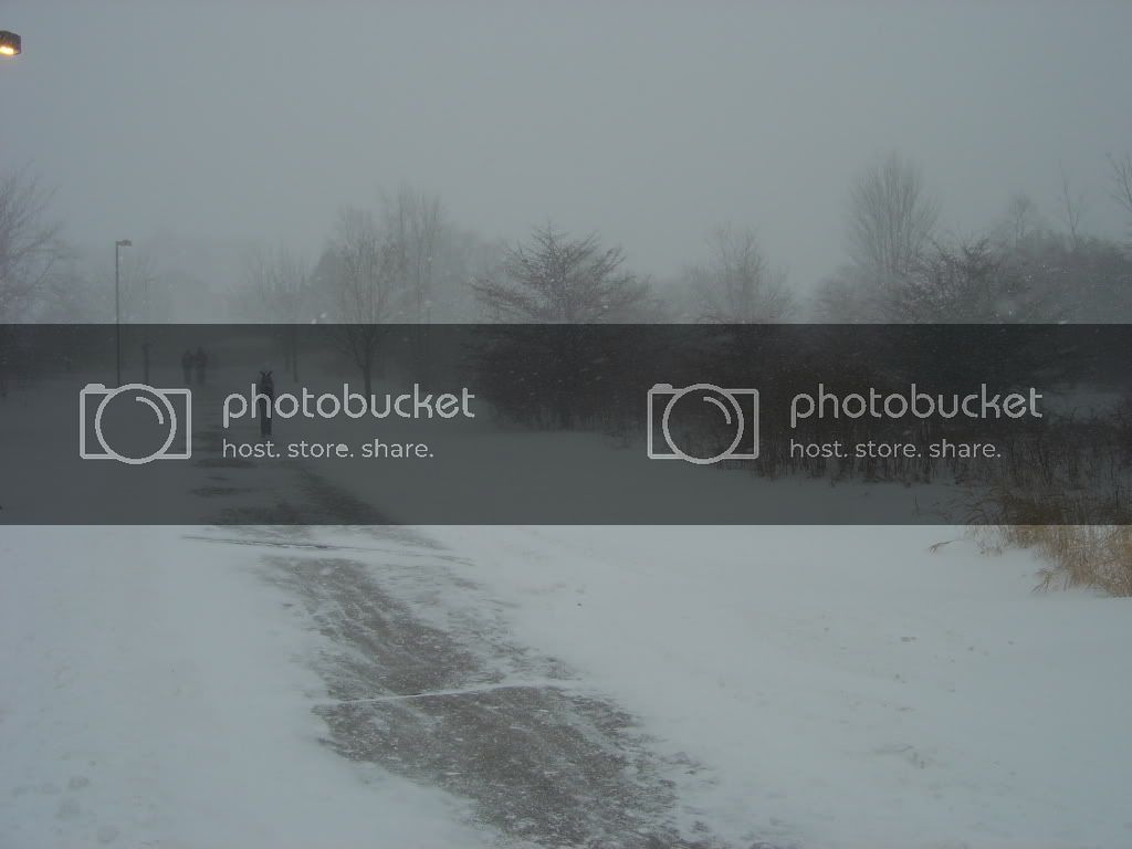
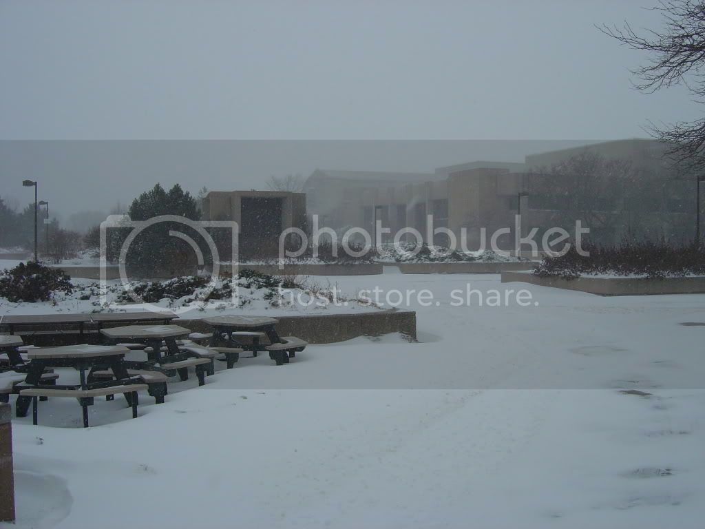
Here in Omaha I am expecting between 3 and 4", and believe it or not that would be our biggest storm so far this season.
 
The first part of this storm is now hitting Madison and since 7 pm we have 3 inches of snow! The NWS says it will die out until late morning and then pick up fast with another 6-8 inches. That could put Madison over the 10" mark. I have a feeling that this storm has the potential to be one of the strongest to hit southern/central WI in quite some time. I have been watching the shortwave moving out of the rockies, and they are getting hammered tonight. When this thing taps that Gulf moisture tomorrow it is gonna be dumping! Of course that means I'll be shovelin'.
 
NWS APX mentions isolated locations seeing over 20 inches tomorrow/tomorrow night.

If that occurs, snow totals would likely hit 30 inches (8-10 inches fell last night as the first slug of WAA moved through)... Snow depth is currently 22 inches at my aunts house. If they get what they are supposed to, her snow depth will be 40-45 inches. That's alot, but being in the lake effect snowbelt - it definitely isn't record breaking.

For my area... Latest NAM shows a significant damaging synoptic wind event. Mixing layer gets as high as 850MB, which taps well into the +65KNT jet... CAA is incredible, pressure gradient force is also significant, and the pressure fall/rise couplet slides right over the area - peaking at an insane 14MB in 3 hours!! This is hands down the strongest looking potential wind event I have seen for my area. If this turns out to be correct, we'd be looking at a 3-4 hour period of +50MPH sustained winds with frequent gusts of 65-75MPH range.

I wouldn't be surprised if a few locations hit +80MPH based on the NAM, given previous wind events this past November with less favorable looking indicies.
 
Sitting here in in Milwaukee 'burbs with a thunderstorm and a sleet/snow mix falling. It was raining a little while ago, but temps must have cooled a tad.
 
Here's the situation so far on the UW-Green Bay campus:

DSC01869.jpg


DSC01870.jpg


DSC01871.jpg


DSC01872.jpg


DSC01873.jpg
 
NWS DTX:

LOCATION ACCUMULATION

...MIDLAND...
MIDLAND .25 INCHES
THOUSANDS OF REPORTS OF TREES...LIMBS...POWERLINES AND POWER POLES
DOWNED. NEARLY THE ENTIRE COUNTY IS WITHOUT POWER.

A quarter inch of ice did all of that? Thousands of reports of downed tress, limbs, powerlines and poles as a result of 0.25 inches of ice?

Civil emergency has been declared for one county in central MI, most of the county is without power and 911 services are unavailable. Travel is discouraged.

I think those counties got more than a quarter inch... Looking at NEXRAD storm total estimates, 1.25 to 1.50 inches fell across those areas... Even cutting those values in half would still yeild up to 0.75 inches of ice. I'm thinking more along the lines of an inch, or slightly more. If they think it's bad now, just wait until the 40-50MPH wind gusts slam in, with temperatures plummeting.
 
Well the snow here was a non-event, about 1.5" here at my house. The cold did however come in as advertised. It is +1 here this morning with a windchill of -21. A far cry from the 66 we had on Tuesday.

I cannot believe the tennis balls that were reported in St. Louis yesterday. Wow!
 
Here in Princeton, MO (about 70 mi due south of Des Moines, IA) We recieved about 1/10 in of ice and trace snow, not much really. We always miss the good stuff! :cry: On an interesting note though, we did have a t-storm roll through yesterday at 6am when the temp was 28F outside :)
 
Here in the Quad Cities we missed out as usual.

We had a very brief period of unaccumulating wet snow Wednesday night. Then freezing drizzle fell for about 12 hours coating everything with a light glaze of ice.


Basically our storminess lasted about 45 minutes, as a band of heavy freezing rain blew through mid morning yesterday. For a brief time there was cloud to ground lightning, pea sized hail, heavy sleet, and heavy freezing rain all coming down at the same time. Visibility was very low. Quite interesting, but after that; just drizzle.

Blah.
 
Back
Top