Welcome cold front

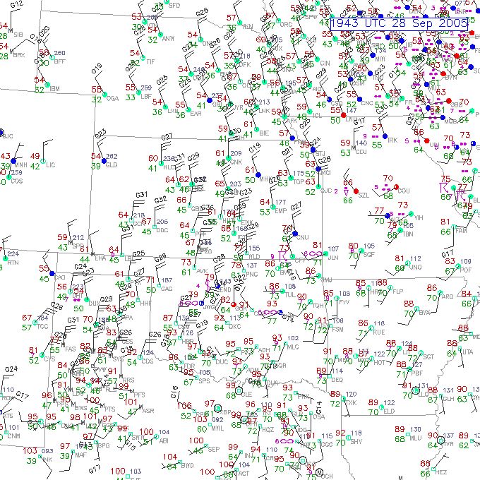
Andrew, I seriously doubt that your mom was experiencing 67 mph winds. Although, suprisingly there was a 44mph gust recorded at Topeka. I walked out of my apartment a little bit ago and caught my first smell of the fall of burning firewood and it was very refreshing.

KTOP 281753Z AUTO 36018G38KT 10SM FEW014 BKN029 OVC033 17/12 A3000 RMK AO2 PK WND 01038/1748 SLP156 60003 T01720117 10206 20167 53031


2005092819_metars_ict.gif
 
Wow what a cold front, LOL.

It's 3.32pm and OUN has a dust-storm on it's northern doorstep. Check it out on a satellite loop if you have a good pair of eyes.

Line of CBs and storms just to our southeast - visible on radar and from our front garden. A pretty impressive CB viewable from our front lawn, actually.

89/62, gust to 29mph.

KR
 
Originally posted by Aaron Kennedy
I missed the leading edge. ARGH!

Aaron

What is special at the leading edge(Of the Cold Front)? Is there more concentrated winds, or cooler temperatures? After I re-thought avout it, I thought it would be something more like high 30's-low 40's. I love the smell of autumn, but I didn't know it involved burning woo,d but that is a good smell to. Down here in east TN, it's 87.
 
Originally posted by Aaron Kennedy
Well... I meant leading edge of the gust front (wall of dust). :)

Aaron

Do you mean a shelf cloud? That is usually associated with a gust front at the leading edge of a thunderstorm.
 
Originally posted by rdewey
Yep, I certainly can't wait for some big snows...

After this cold front comes through tonight, BUFKIT kicks wind gusts up to 45-55KNTS for a solid 4-6 hours in the strong CAA. It's timed pretty well with the pressure fall/rise couplet, which should helps things out. This is pretty early in the season to be getting such strong winds (usually happens in November)...

No wind advisories out just yet for our area, but I am betting that by the afternoon AFD, things will change.

Okay, don't hold me to the wind advisory deal :lol:

My thoughts remain the same though - I still think that 45-55MPH wind gusts right behind the front will be quite possible for an hour or two. Wind should remain at or just below advisory criteria through THU morning...
 
I'm thinking southeast MI will get in on strong SFC winds as the cold front blows through later... Both NAM/RUC showing a +40kt LLJ spreading into the eastern half of MI behind the cold front (0Z-06Z timeframe) - not sure how much of this will make it down to the surface, but I'm thinking the DTX CWA could get into wind advisory criteria later.
 
Originally posted by nickgrillo
I'm thinking southeast MI will get in on strong SFC winds as the cold front blows through later... Both NAM/RUC showing a +40kt LLJ spreading into the eastern half of MI behind the cold front (0Z-06Z timeframe) - not sure how much of this will make it down to the surface, but I'm thinking the DTX CWA could get into wind advisory criteria later.

BUFKIT has us mixing into the 3K FT AGL layer (around 875-900MB). The winds at 850MB slow down slightly after the front, but the 950-875MB layer is still going strong at 50KNTS or so - within the forecast mixing layer. The actual question then becomes, is the model correct in mixing layer heights? Since the NWS doesn't have the answer, they decided not to go with a wind advisory. Also, considering the winds will be developing over us, rather than advecting in from the west, there isn't anything to really verify the model data against...
 
It will only be a cool front down here. Currently 103 with 'Dangerously High Heat Index" scrolling my Vantage Pro (says 114.6 :shock: ).

Been just oppressive here, even inside the house is 87-89. I saw where we should start getting some lows in the 60s, too cool! I am planning on going home in 3 weeks, and will get to experience TRUE fall weather. I miss it.

Next week, it will be back to the 90s again, but hopefully only the low 90s. All these hurricanes are making it hell down here, literally with the damage, heat and everything else they are bringing. :(
 
Here in Omaha, we've been in the 50s all day, with gusty north winds. The post-frontal cloud cover has cleared out in the past hour or so, but even with the sun, it's a bit chilly. I'm actually wearing a sweater!

I doubt we'll freeze tonight, but mid 30s appear likely.
 
Originally posted by Andrew Khan
Jeff, aren't you guys under a frost advisory? I need some of this cold weather down here...wonder when it will make it.

There are frost and freeze advisories to my west, but not here in Eastern Nebraska. Still, patchy frost is expected. The average date of first freeze here is October 10, so for us to be flirting with frost the last week of September isn't all that unusual.

Then again, I grew up in Texas, so early freezes take getting used to. Still, I'd rather deal with an early freeze than 100+ degree F days all the way into October. I rather appreciate the fact that, in Nebraska, Autumn feels like...well, Autumn.
 
Chilly, rainy, blustery day here in Green Bay. This strong cold front had too much grunge and not enough CAPE for me to get enthusiastic. I watched the clouds race across the sky thinking "How I hate seeing these strong winds aloft go to waste". Of course, I was thinking the same thing at about 3 PM on August 18. :roll:
 
The day started humid and cloudy, with a light southwest breeze. By afternoon the front blasted through, quickly followed by all the post frontal rains. We had a nice soaking here, which was nice to see. By the time I came home from work in the early evening, it was cold and windy. Big change!!

The smell in the air was different tonight. You can almost smell winter coming. I'm looking forward to tracking winter storms already. I hope this season's better than the last, which only yielded us about 17" of snow, one of the lowest ever for the area...
 
Back
Top