Dan Robinson
EF5
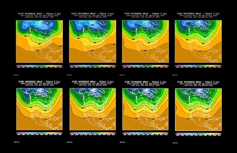
The GFS and Euro are wanting to keep things capped on Sunday and Monday. The best moisture isn't pushing west up against the dryline. Midlevel flow is offshore (northerly) on much of the Gulf coast through the period. These concerns have me at less enthusiastic about going on the first Plains trip of the year.
")