Derek Weston
EF5
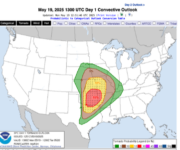
Monday looks to be another regional outbreak of severe weather across the plains.
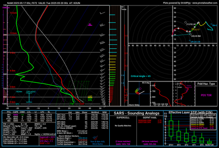
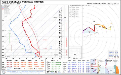
This time with perhaps a broader warm sector extending further east. Upper level support digs in deeper Monday and provides a more highly sheared environment. Currently the GFS is pushing this forward a bit further east than the NAM, keeping most of the action east of I-35. Instability again looks to be potentially strong to extreme across the region.
Previous runs had the surface low decaying during the day before reforming in a rather weak state. Latest runs don't seem to favor this solution, but something I'm keeping an eye on.
At any rate, another day of potentially high end severe weather I'll be out for the in plains.


