Brian McKibben
EF3
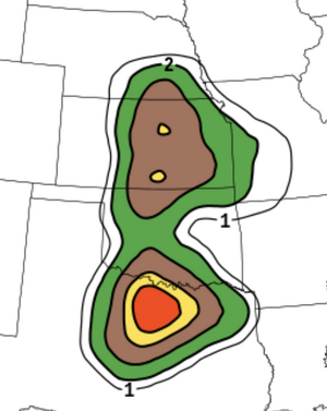
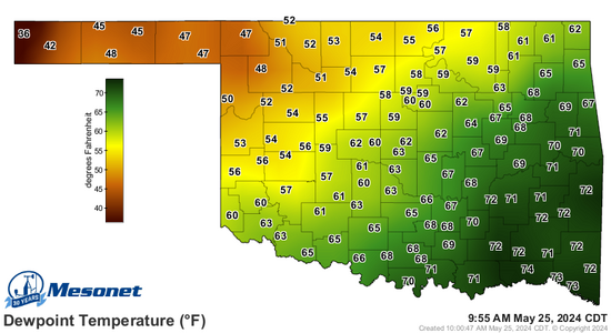
Pressure falls and moisture return sucks because the system slowed down from what it was progged just 48 hours ago.
It is about 3-4 hour behind schedule which has huge implications for not only moisture, but initiation, storm mode, etc.
It is about 3-4 hour behind schedule which has huge implications for not only moisture, but initiation, storm mode, etc.
.png")