Mike Marz
EF3
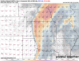
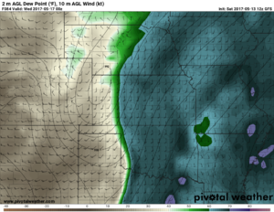
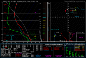
This upcoming Tuesday is closing in and it looks like a potentially solid chase day across a broad area. The NAM and GFS both show a sharp dryline setting up from parts of Nebraska down through Texas by late Tuesday afternoon. The exactly location of the dryline is still in question, but I suspect it will be somewhere in the panhandles and up through western parts of Kansas. A pretty impressive shortwave trough will be ejecting into the plains by Tuesday evening. Storms that can develop along the dryline might have an impressive environment to work with. The GFS shows a 40-45 knot 850mb LLJ straight out of the south by 00z Wednesday and backed surface flow. The forecast hodographs on the GFS look quite nice. The NAM isn't as impressive and shows more veer-back in the soundings. The thermodynamics look like they will be fine. There are possible flaws in the setup, obviously, such as LCL heights, moisture quality, ect... but either way, we will have more model runs to sift through before the event. There could also be a secondary target further north where a warm front play looks possible. This looks much more conditional at the moment. Overall, somewhere in southwest Oklahoma would be my target as of now.


Last edited:

