Royce Sheibal
EF3
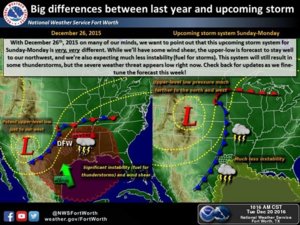
Oh it's happening sweetheart! The Xmas Event you've all dreamed of since you were storm chasing infants. Santa is going to bring us some severe weather 12/25 across much of the plains and lower MO/MS river valleys. SPC has a mention in their Day 6 long term, but no delineation due to low probs, and there are a few events to compare to, such as the Jan 7th, 1992 event in Central Nebraska (6 Tors, 5 F1's and 1 F2 in Nance and Merrick Counties) and the event in IA this November.
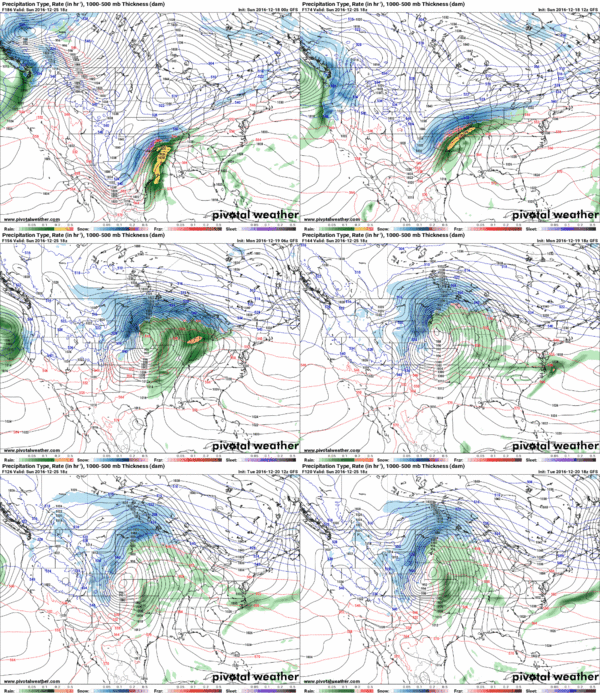
12Z GFS continues the trend of a narrow band of 100-500SBCAPE stretching from TX all the way up to Southeastern NE. Td's are likely to advect rapidly northward during the morning with low 50's and near 60 temps covering the target area. We had a similar setup in late November event this year in Central IA.
The low moving out of CO is forecast to be in the 990-988mb range, accompanied by an incredible DPVA lobe smashing into the area during max heating. Bulk shear values are 80-100kts, however helicity may not be terribly impressive due to the linear fashion of the shear. This being said, any right turning mini-supercells that can get embedded at the surface have the potential to drop tors, similar to the IA event.
Concerns: Low clouds may ruin diurnal heating, Linear Shear, heavy contingency on moisture advection
Bonus Factors: Extreme levels of DPVA, Divergence Aloft, Strong Jet, Powerful Low /w good return flow
X-Factor: Plains Winter events like this are rare, but have shown to produce tornadoes in bunches and often with very borderline conditions. The models appear to meet those borderlines and then some. GFS is tricky this far out as always, but the CFS has a noticeable peak on Sunday, so the GFS is not alone. Check it:
http://www.spc.noaa.gov/exper/CFS_Dashboard/
Target - Beatrice, NE. Good roads in all directions. The location of the low might be tricky, and GFS indicates we may have a leftover MCS that influences initiation in the Nebraska target. There will likely also be another solid target in SE KS where shear vectors are better, but I'm a DPVA man and I'm going to play the vorticity play every time. If the Southern Target blows up too big too early, the North Target dies, but if things stay way south down into OK or TX I think the North will have time to go. If it looks good Sunday Morning, I'm on the road, wish me some Xmas Luck.


