Ben Holcomb
EF5
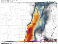
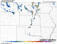
With next week looking to be particularly active, I think we can start looking ahead. Sunday appears to be the first 'chase' day for us based in Central Oklahoma with supercells possible, especially in SW, South Central and Central OK. The GFS is showing a nice 996 low in Western Iowa with a secondary low near Childress at around 998mb. Moisture return isn't the greatest, but mid 60 degree dewpoints seem reasonable with decent turning in the lower levels.
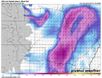
500 mb flow seems to be mostly westerly at 35-40 knots with CAPE in the 2000 J/KG range. Upper levels are still a little weak, but it's a day before the day before the day - ha
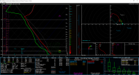
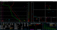
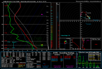
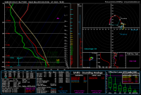
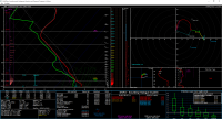
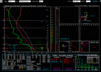
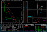
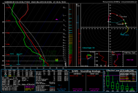
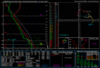
Here's Norman and Purcell 00Z forecast soundings


500 mb flow seems to be mostly westerly at 35-40 knots with CAPE in the 2000 J/KG range. Upper levels are still a little weak, but it's a day before the day before the day - ha
Here's Norman and Purcell 00Z forecast soundings
