Ethan Schisler
EF5
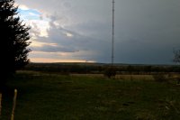
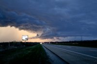
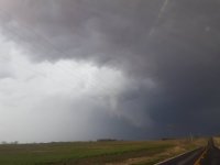
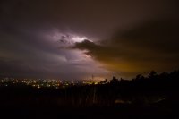
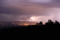
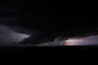
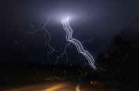
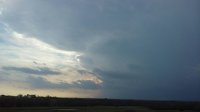
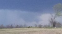
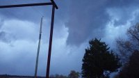
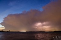
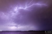
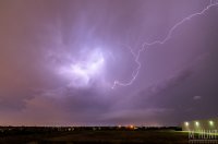
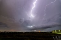
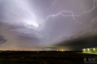
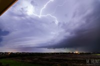
Decided to take the chance and chase yesterday near the surface low in Northwest Missouri/Southwest Iowa. Original concerns over marginal moisture ended up verifying and setting this back from what could have been. Bulk shear in excess of 65 knots and CAPE values ~1000 J/KG set the stage for possible tornadic supercells across the area. We headed out toward the Tarkio, Missouri area and watched and several storms initiated and none appeared to really be able to establish a solid updraft, thus "pulsing" up and down. Managed to finally get on a halfway decent looking storm around 6:20PM between Burlington Junction and Quitman, Missouri. This storm had some halfway decent high based structure, before another cell come up from the south and cut it off. The southern cell near Quitman, Missouri produced a funnel which I thought was going to develop into a tornado, however the entire updraft quickly became occluded. It tried to produce a new area to the east; however, I think the lessening instability at this point and somewhat meager mid-level lapse rates working into the area, caused this to not quickly fall apart. After this storm fell apart, we called it a day around ~7PM and headed east for home. Overall a somewhat disappointing chase day, given the potential for at least a couple tornadoes in the area, but you can't win if you don't play....at least something to that tune. Hoping for better setups in the future. (See photos below)...
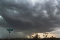
Burlington Junction, Missouri structure
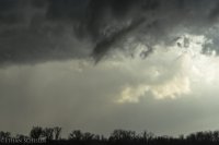
Funnel cloud near Quitman, Missouri

Burlington Junction, Missouri structure

Funnel cloud near Quitman, Missouri

