00z runs are in... My thoughts regarding W/C and SW Oklahoma into the OKC Metro.
HRRR - Particularly worrisome (from a general public standpoint) with this one is that the precip doesn't look to work over the atmosphere too much tonight. Early morning precip begins to vaporize starting around 12z. And then mid morning (15z) it is already showing SBCAPE >2000. One can only imagine that number will climb as we get some sun and heating. Surface temps across SW Oklahoma are already in the mid to upper 70s by 15z.
RAP - SBCAPE >2500 by 18z and STP creaping up past 2. Not sure what to make of the morning convection with the RAP.
NAM - At 00z the NAM has a line of storms along Hwy-81 corridor at 00z, Tds ~ 70° F, SBCAPE 2500+, MLCAPE 1500-2500, STP approaching 4 in OKC Metro and 5 along DL. 250 hPa @ 110 kt over NM, 500 hPa speed max over SW Oklahoma @ 80 kt.
4km NAM - Brings convection over SW Oklahoma in the morning. Develops Storms along DL in East TX panhandle between 19-20z. Potentially a few warm sector storms along I-44 corridor possibly from morning outflow. Storms approach OKC metro by 01z (8pm). SBCAPE ~4000 at 22z. UH shows warm sector storm going over OKC at 00z and several other DL supercells approaching Hwy-81 corridor at 00z as well.
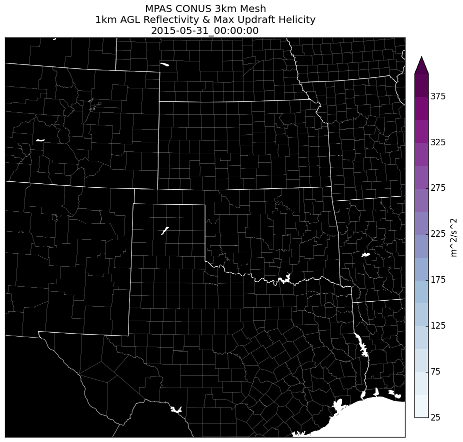
MPAS - I'll leave that up to our resident MPAS met Jeff Duda
")
Thanks buddy!
If we wake up and see the radar looking better than last Saturday then we could be in for a long day.
Target: My upstairs window looking west and storm shelter in Moore. Good luck to all. If i could chase I would head west on I-40 and then decide whether to go North or South once the 12z runs come in.
") Question, is this model an experimental mid-range derivative of the NAM combined with the hourly forecast projection of the HRRR? Second, looking at this model it seems to give a clue to these some curious precip breakout patterns I have seen with the NAM the last couple of days regarding this day. I was trying to figure out why the early morning convection was dissipating between 15-21z as it crawled eastward out of eastern NM across the panhandle as the day went on and then suddenly there is a big blowup of precip along I-35 at 00z.
Question, is this model an experimental mid-range derivative of the NAM combined with the hourly forecast projection of the HRRR? Second, looking at this model it seems to give a clue to these some curious precip breakout patterns I have seen with the NAM the last couple of days regarding this day. I was trying to figure out why the early morning convection was dissipating between 15-21z as it crawled eastward out of eastern NM across the panhandle as the day went on and then suddenly there is a big blowup of precip along I-35 at 00z.