Beth, what settings are you using?
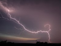
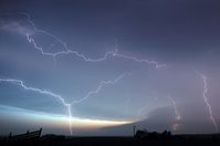
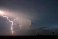
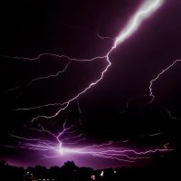
Try the Basic Lightning Recipe:
Manual mode
Tripod
Find a pretty scene, with as little horizon clutter as possible.
Focus at infinity.
ISO 100
F/8 (Adjust according to distance and brightness.)
Adjust shutter speed to match scene brightness. After dark, go with your camera's max, 16 seconds.
Machine-gun away and hope for the best.
")
.jpg")