Jeff Snyder
EF5
The following is a current (~1830 utc 4/29/10) vis sat image of the lower Mississippi River valley area:

Obviously, we see Cu in the deeper moisture along the northwestern Gulf coast, and some scattered clouds across southern MO. However, there is a ground-based white area across eastern AR and adjacent portions of surrounding states. I think we've discussed this on here in a previous year, but I can't seem to remember. Is it cotton?
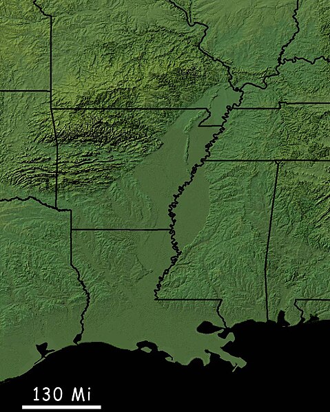
EDIT: The Google Maps terrain imagery from this area (SEE HERE) shows that the bright area on vis sat is nearly collocated with the low-vegetation area (lightest green), so I assume it's related to agriculture...
Obviously, we see Cu in the deeper moisture along the northwestern Gulf coast, and some scattered clouds across southern MO. However, there is a ground-based white area across eastern AR and adjacent portions of surrounding states. I think we've discussed this on here in a previous year, but I can't seem to remember. Is it cotton?
EDIT: The Google Maps terrain imagery from this area (SEE HERE) shows that the bright area on vis sat is nearly collocated with the low-vegetation area (lightest green), so I assume it's related to agriculture...