It was definitely a surprise ... I'll fill everyone in on a few more details now ...
When I was at work in Overland Park, I could see some cells forming near the low in Kansas and then moving rapidly up the northeast corner of the state (Doniphan Co) into Andrew Co. Missouri. Some of these looked pretty healthy, particularly one that had formed north of Topeka and was following the same track as the others. So I felt I could get ahead of this cell by going up to Wathena, Kansas initially on highway 36. These things were trucking, but I did manage to intercept the first cell after it came across the river in Andrew Co., Missouri. My brother Andy nowcasted for me and put me in position to catch this one north of Amazonia, MO. I intercepted the base on this one during daylight, and it had GREAT inflow moving into a nice lowering. I knew this cell was rotating, but could not keep up with it, so I gave up in between Oregon and Fillmore. Little did I know at the time that this was going to put me in position for something much more interesting. I used GPS to follow a route through the town of Fillmore that I have chased twice before.
When I came through Fillmore, my brother Andy called to let me know that another, much healthier cell was headed my direction. In this little town of Fillmore I started getting pelted with dime sized hail, which made me wonder if I was coring the next cell coming through. As I continued down state route A there was no doubt that I was in the core, with quarter size hail. As I came through Fillmore I actually thought "if there's a tornado in this storm, then this little town may not be here after an hour or so."
I kept going down SR A, when all of the sudden a bunch of birds flew through the intermittent hail at this point in front of my car. There were a couple of large birds, like hawks - that were flying erratically in the middle of the dark and I slowed down because I thought I was going to hit them. I thought they were flying so weird because they were trying to get out of the hail, but as soon as I turned the corner onto 71 I realized that they were desperately trying to get away from the tornado, which became immediately visible.
I'm going to try to put into words what this sounded like now. I got out of the car and had to switch my camcorder to night vision to get the tornado stills. As I'm standing there, first I hear the wind whistle, which was no big deal. But then there was a sudden rush of air and a screaming roar. This sounded to me almost like the combination between someone screaming at the top of their lungs and a jet engine together at the same time. And I recognized the Doppler effect in the noise, in that it sounded like the jet was flying down the runway toward me - the noise had a DEFINITE pinpointed location on top of the hill ... just like the sound a truck has as it's moving toward you. That's when I knew that it was coming my way ... and if you look at the three vid caps, you'll actually notice the funnel getting progressively larger as it heads my way ... you can also clearly make out a well-defined RFD at the top of the funnel. That's when I booked south and flashed my lights at folks ... as soon as I went south, several bands of wrapping rain hit my car as well, and I could tell because of the circular motion of the rain that they were wrapping the tube tight up against it.
Anyway, that's the rest of the story ... I'll never forget that noise. It's burned into my brain forever.
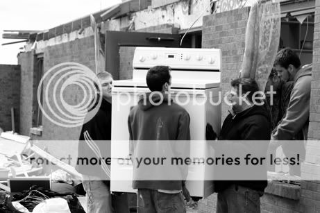
I'm going back up today to get some damage shots after a dentist appointment this morning. Hope to see at least a few chasers in Lincoln tomorrow in the morning ... I'm sure more than one of us will be heading out quickly in the afternoon to hopefully make it to what looks like an ideal tornado producing setup at this point.
[/b]
")
 ]
]