Jesse Risley
Staff member
We initially targeted the Bismarck area along a boundary that was set up and progged to initiate at least one or two discrete supercells that would latch on to the boundary with enhanced vorticity. We opted against the Iowa Target due to high PWATS and the uncertainty of discrete storm development before dark.
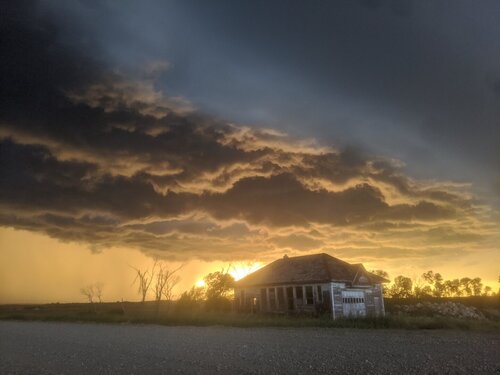
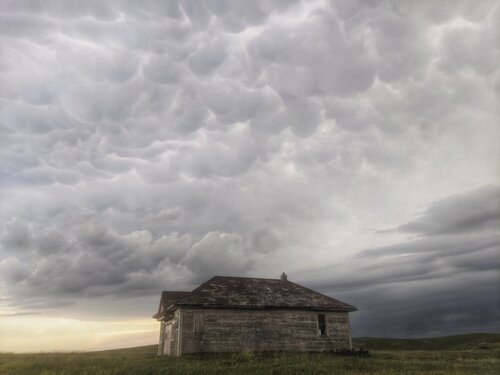
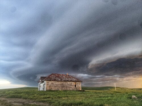
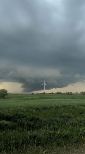
Up in this neck of the woods most of the storms were continually undercut by the boundary as it vacillated slowly eastward despite being forecast to remain mostly stationary. With that having been said there was one confirmed tornado report by the public, with photographic evidence, down at the southern end of the line with a storm that wasn't undercut initially. I had some fun with some transient supercells that produce some great photographic opportunities about 20 miles north east of Bismarck just before dark.


Up in this neck of the woods most of the storms were continually undercut by the boundary as it vacillated slowly eastward despite being forecast to remain mostly stationary. With that having been said there was one confirmed tornado report by the public, with photographic evidence, down at the southern end of the line with a storm that wasn't undercut initially. I had some fun with some transient supercells that produce some great photographic opportunities about 20 miles north east of Bismarck just before dark.
