• A friendly and periodic reminder of the rules we use for fostering high SNR and quality conversation and interaction at Stormtrack: Forum rules

    P.S. - Nothing specific happened to prompt this message! No one is in trouble, there are no flame wars in effect, nor any inappropriate conversation ongoing. This is being posted sitewide as a casual refresher.

2020-05-23 REPORTS: IA/IL/WI/TX/NE/KS

Jesse Risley

Staff member
Joined
Apr 12, 2006
Messages
2,235
Location
Macomb, IL
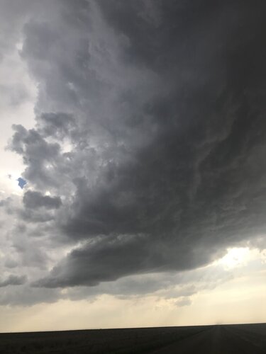
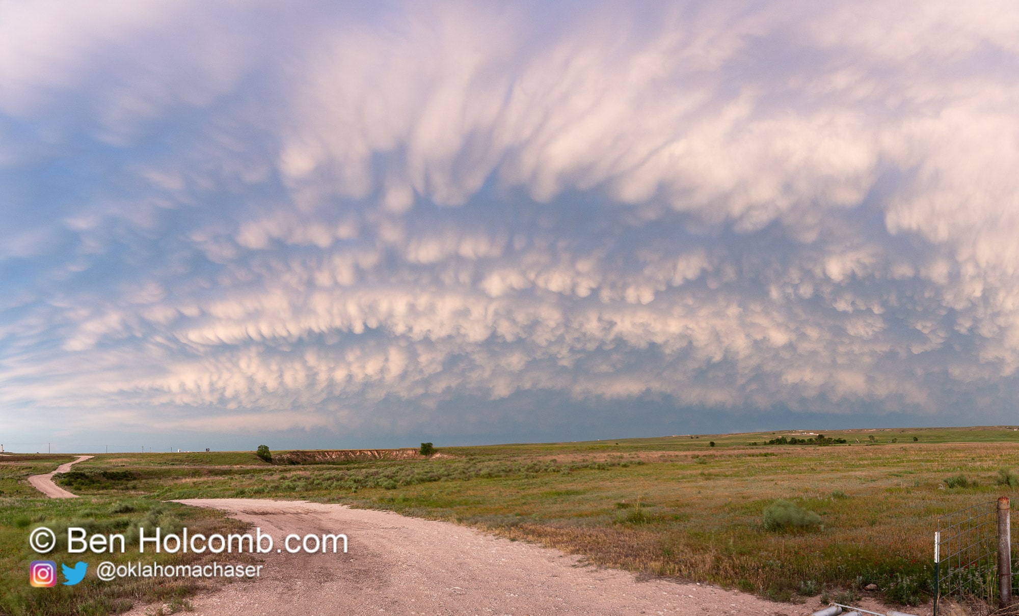
I opted to target just east of the Mississippi River along the surface warm front and east of the main surface cyclone. As the warm front lifted towards I-80 several rounds of convection occurred in the warm sector. Some late morning convection moved proximal to the warm front and may have laid down a boundary that later storms fed off of. An isolated cell formed south of Moline, IL along the eastern flanks of the MS River and tracked ENE near the front. It initially produced some good low-level convergence, rotation and brief funnels before getting interference from another cell as it tracked north of I-88. As I re-positioned north of Sterling-Rock Falls near a small town of Coletta, IL, I noticed an impending storm merger from the SSW. Within minutes after the two storms merged a large cone funnel appeared and then it produced a tornado for several minutes (1st photo). As the tornado lifted and the storm cycled, I re-positioned and caught a large fat white cone that was narrowing before it roped out (2nd and 3rd photos). I went north up into S WI as the warm front lifted north, but I wasn't able to confirm any more tornadoes with the ongoing storms. The storms occurred in a zone of rather favorable 0-3 km MLCAPE juxtaposed with a north moving surface warm front.

FB_IMG_1590289721059-01.jpeg

FB_IMG_1590268980671-02.jpeg

Screenshot_20200523-220600-01.jpeg
 
Chased Northwest Illinois yesterday and documented the life cycle of 2 fairly nice tornadoes and another supercell thunderstorm. The chase started out quite frustrating as a supercell that tracked from Orion, IL up to Erie, IL had troubles organizing in the low levels. Somewhere between Erie and Lyndon it produced a cone funnel that eventually got obscured by rain, I'm not sure if that touched down or not. That storm rapidly got disorganized as it pushed northeast of Lyndon, so we headed back southwest toward the QCA for another tornado warned storm. After a cell merger it would go onto produce 2 fairly photogenic tornadoes near Morrison and Coleta, IL. Watched the storm drift off into the distance near Forreston, IL before calling it a chase and was home by 6:30pm .

I liked the area in Northwest IL yesterday because of the high 0-3km CAPE and surface vorticity overlap along with the strongly backed winds in place from the warm front. Hindsight, I probably should have started out near Iowa City and could have seen more, or continued chasing toward Chicago, but alas such is chasing. Here are my photos from the chase:

DSC00604.jpg
Funnel cloud in the Lyndon, IL area

DSC00602.jpg
Cone funnel near Lyndon, IL

DSC00607.jpg
Approaching the second supercell thunderstorm in Northwest Illinois.

DSC00669.jpg
Tornado that lasted several minutes near Morrison, IL kicking up debris behind a farm house

DSC00683.jpg
New mesocyclone forming near Coleta, IL which would soon pump out a new tornado

DSC00686.jpg
Tornado near Coleta, IL. This tornado started out as a fat cone while we were driving and then roped out producing some dust at the surface

DSC00694.jpg
Coleta, IL tornado

DSC00713.jpg
Wide angle supercell shot after the Coleta, IL tornado dissipated. New area of interest is on the right, but lacks any significant rotation. The storm would later drift off into Wisconsin not producing any additional tornadoes that I know of. Fun local chase and was able to get my girlfriend her first tornadoes as well which was exciting.
 
After seeing all the kick butt tornadoes I think why bother with this BUT it was part of the day so ...

After leaving KC at 11am to make Wichita Falls in time for storms the day before I could not make it to IA/IL so I hauled to Goodland KS. I had debated the SW KS ish target of the triple point as it seemed like storms HAD to fire there but I choose the CO target instead. I got to Goodland just as storms started and was under them until they both died. Not much to show but there were a couple landspouts and some ok structure. Congrats on the tornadoes everyone!!!!

PS ... I did get to stay the night at one of my favorite little hotels in KS.

1.jpg2.jpg
3.jpg4.jpg
 
I may have seen my first tornado(s) yesterday in WI, near Beloit. I have several hours of dashcam video to scroll through. The trees/buildings and lack of discernable condensation funnels make it hard for me to say at this point if I did see it. But, I was right there when it was all happening, so chances are I did in fact see it. I will try to make a better report once I have had a chance to review everything.
 
This was a really good chase for me because I´m pretty much confined to Illinois this year. The ironic thing about it was the night before, I went through Gibson City Illinois and they had Twister playing at their drive-in theatre. As far as the chase itself, I was near Round Grove Illinois for this tornado. I just loved how the colors changed as it crossed the road.
Screenshot_20200525-154718.pngScreenshot_20200525-154826.pngScreenshot_20200524-153441.png

Same storm, different tornado near Coleta Illinois. I was questioning whether or not it was actually a tornado until I cleared a tree line and saw the ground circulation.
Screenshot_20200524-152015.png

I had a decision to make on whether to continue with the storm that produced the previous 2 tornadoes or the growing storm to the south. I figured to bail on the original storm and met the next storm near Chana Illinois and was not disappointed. The structure and the motion was amazing. It did produce a brief tornado. You can see some debris underneath the bowl funnel above in the first image.
Screenshot_20200524-145738.pngScreenshot_20200524-152150.pngScreenshot_20200524-152105.png

Got the sunset to cap off what I thought was a really fun chase!
Screenshot_20200525-162338 - Edited.png
 
I stayed the night in Ames, IA Friday night which put me in a hell of a pickle deciding if I should stay in Iowa/Illinois or drive away from a 10% tor and head towards northwest Kansas. I ultimately chose to go west after putting all my faith in what the HRRR was consistently showing in nw KS and sw NE. Storms fired west of Goodland but couldn’t quite break the cap. It was odd because while I could hear thunder, I never saw a single CG. I don’t have scientific proof but my experience has told me that a lack of cloud to ground lightning is an indicator that the storm isn’t surface based and/or is still struggling with the cap. I can’t believe how consistent the hrrr was in breaking out a couple of isolated supercells up until about 6:00 pm the day of and then completely reverses course. I don’t think I’ve ever seen the hrrr be so consistent run to run in showing the same storm in the same spot for so long. Lesson learned is to take the CAMs with a grain of salt, which I already knew but I guess I was desperate. In the end too many miles and too many hours spent on this setup, especially when I could have stayed in Iowa and been home that same night. In reality I probably would have been in Illinois and missed the Iowa tornadoes anyway. Hindsight’s a bitch.
 

Attachments

  • 1DDC6C24-04D5-4489-8A95-95A2762EBF9F.jpeg
    1DDC6C24-04D5-4489-8A95-95A2762EBF9F.jpeg
    52.5 KB · Views: 0
Chased in the Texas/Oklahoma panhandles. Didn't get crap for storms, but was greeted with a beautiful mammatus display.

Full Recap on my website

20200524-IMG_3773-Pano.jpg
 
I actually edited some of my images from this day and figured I would post them here since the ones I posted last year were pretty much straight out of camera JPEGs and not the RAW files.


This was a great chase day for it being 2020 and honestly any year I'd take a day like this.

Tornadoes were highly visible, almost no precipitation around them and very well lit and photogenic. My only regret was not hopping on I-80 earlier and grabbing the Protection KS style event that unfolded in Eastern Iowa with 3 areas of circulation going on at once (if you remember that event) E of Iowa City. My target was near an MCV in E IA and along an arcing warm front into NW Illinois. I left a little late which is what put us behind for the previous mentioned event near Iowa City. Overall a 9/10 day in my book. Anyway here is the goods:

DSC00656.jpg
Tornado gracefully passing by an area farm kicking up debris. This tornado produced winds up to 110 mph according to NWS.

DSC00651.jpg
Photogenic tornado continues off to my southeast.

51050253507_66fecb4739_o.jpg
Tornado shot at 70mm barely missing the house to the east as it passes due E of me and ropes out just behind the grain elevator quickly as it formed lasting around 10 minutes.

DSC00683.jpg
Wall cloud quickly forming to the NNE again signaling a new tornado about to form.

DSC00685.jpg
We have tornado touchdown SW of Coletta, IL This was tornado #2 of the day and it would persist over 15 minutes as well before roping out.

DSC00692.jpg
Tornado nearly fully condenses for us behind the tree line kicking up debris and hitting a farmstead doing high end EF-1 damage at this time.

51050179276_c3239a840a_k(1).jpg
Tornado passing out from behind the trees kicking up dust and debris.

DSC00686 copy.jpg
Tornado lifts slightly leaving a bit of debris at the surface before turning into an elephant trunk style tornado.

DSC00709.jpg
Tornado starting to rope out with some sub-vortices at ground level and a wispy funnel above in the late afternoon light.

DSC00695.jpg
One final image of a tornado to my SE again as the storm moves away. My tornado count for the day was somewhere between 2 for sure with a 3rd possibly as this could have been a different tornado. I made it home by 5:30pm to eat supper at my own table with my family and continue life in 2020 COVID lockdown style. This was a relief to have so close to home during a pandemic and to get such good images, really made me feel good and less anxiety about the chase season being so dull and coming to a close.
 
Back
Top