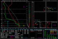
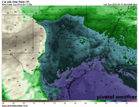
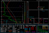
It's not often that you see this, but the NAM appears to be converging on the GFS' solution with a more northerly placement of the warm front. The GFS has been rather consistent for many runs now on the placement of surface features and the general threat area. Looks like the NAM has a more SSE-NNW oriented dryline across the E TX PH and into far W OK, whereas the GFS is almost right along the TX-OK border. Looks to be a fairly narrow window of truly good deep shear - too far south or east and shear drops off pretty quickly, with some doubled-back hodographs. I was able to find one or two #PDSTOR soundings on the 12Z NAM.
Also been noting a substantially friendly setup in the SREF for several cycles now, as well. Solid, but not extreme, shear, instability, moisture, helicity etc. The SREF does seem to be stingy with precip, but as has been discussed in this thread, you can't always put much stock into the CPS, and the one used operationally has its biases that can be worked around.
Surprising consistency between models and inter-model run-to-run...this may actually happen.


