Greg McLaughlin
EF5
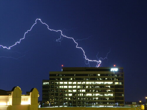
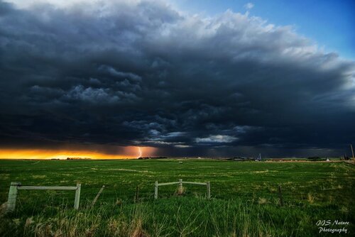
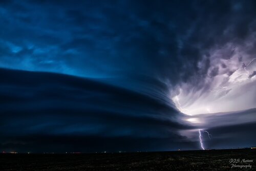
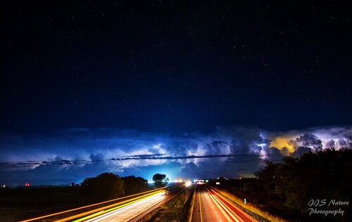
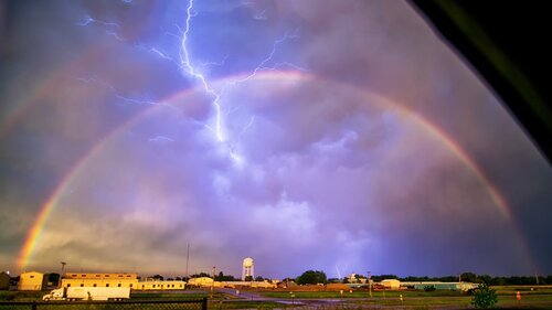
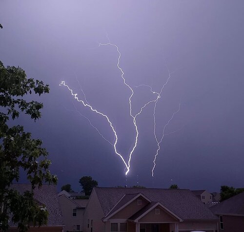
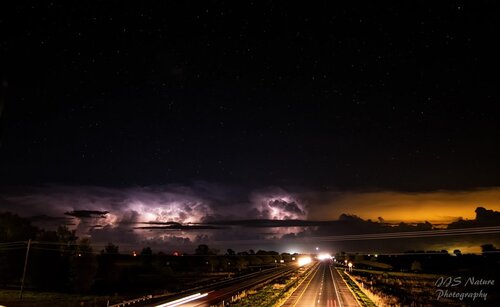
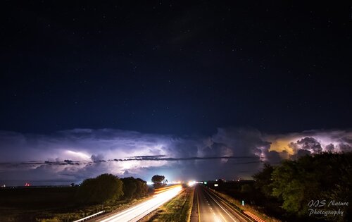
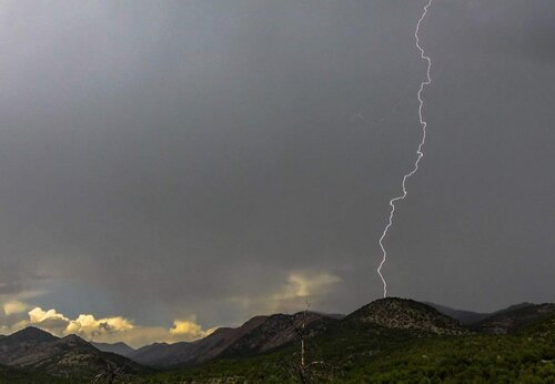
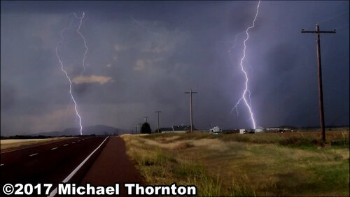
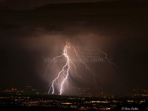
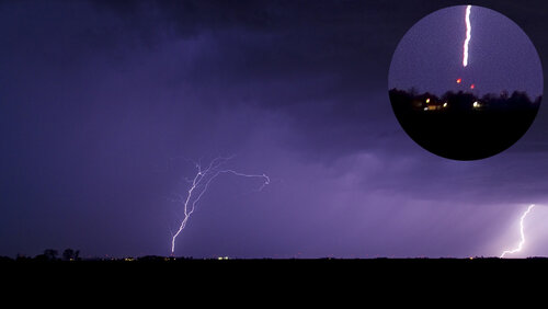
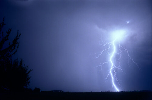
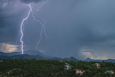
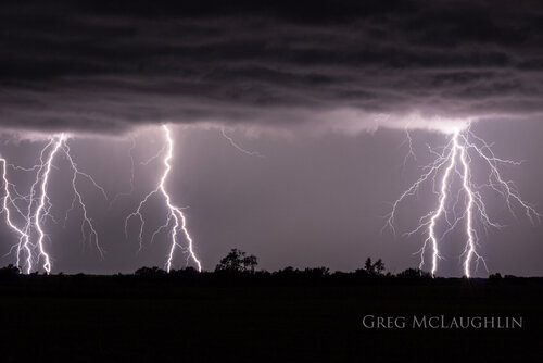
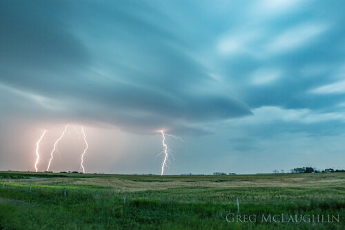
Here are five of my favorite lightning images taken over the past few years.
The first image is from August 15, 2019 in southeast Kansas. This is a single 8 second exposure from the leading edge of an MCS that formed out of a cluster of tornadic supercells near Alta Vista, KS earlier in the evening. I have about a dozen quality photos from this location of one of the most intense CG lightning barrages I have ever seen.
The second image is from southeast Saskatchewan Canada in July 2017 from a marginally severe storm.
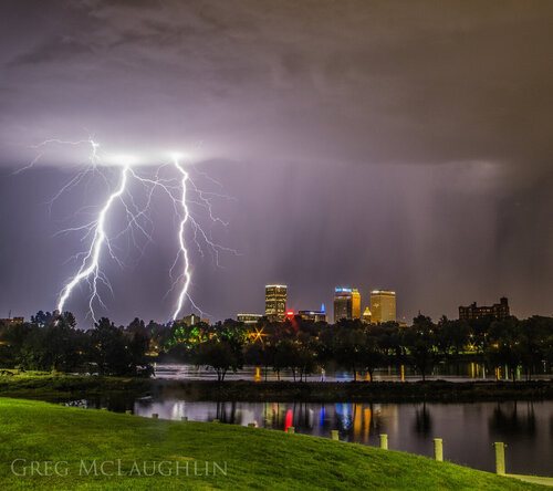
The third image is from Tulsa, OK in August 2018 from a non-severe thunderstorm as it hammered downtown with an intense CG barrage.
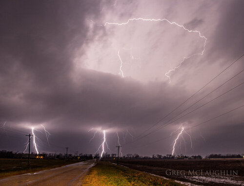
The fourth image is from November 30, 2018 near Webbers Falls, OK. This CG burst came out of a tornadic supercell just minutes prior to the formation of a long-track eF2 tornado which hit Cookson and Blackgum, OK
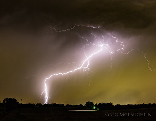
The fifth image is from Coweta, OK in June 2017 of an impressive CG strike along the leading edge of a loosely organized MCS


Last edited:

