Tim Vasquez
EF5
- Joined
- Dec 4, 2003
- Messages
- 3,411
While we're getting back into this chase downtime I thought I'd drag out a couple of old images I saw in my pictures while pulling out the lightning image. It reminded me of how far we've come when I realized most of what the new chasers know about is Internet graphics and AWIPS.
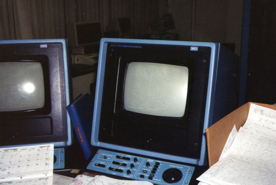
I present to you what was the marvel of forecast technology during the 1980s, AFOS. This was the backbone of every National Weather Service office. You typed your forecasts, pulled up model graphics, and looked at analyses. It did everything except grayscale or color material like radar and satellite. The system was essentially a repurposed Data General Eclipse S/230 computer, originally designed in 1974. It was a 16-bit system equipped with 128 KB of RAM, with two 10 MB hard drives (!) which were eventually upgraded to 100 MB units, and it stored about 300 vector-mapped charts that came in over a dedicated modem circuit. It was capable of running locally written programs in FORTRAN. Some people like Phil Bothwell (now of SPC fame) earned prestige writing such applications.
The unit you see here was at the old Fort Worth office; I took the picture in January 1989:

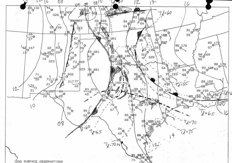
Here is a sample surface analysis for May 31, 1988, with a basic hand analysis drawn that day. These surface plots were considered detailed back then. The ASOS network was still years away, and I can think of very few stations from that era that didn't make it onto this map, except for the usual urban airports like NBE and FWH (now KNFW).

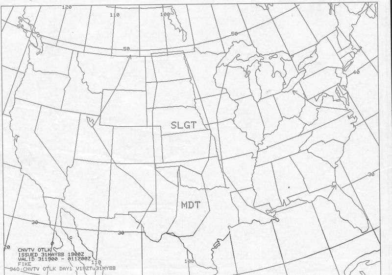
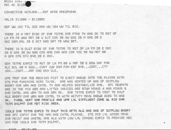
And then there are some things that don't change a whole lot in 25 years:


I was kind of stunned when I realized how such a groundbreaking technology is now so obsolete, but that's progress for you.
Tim
I present to you what was the marvel of forecast technology during the 1980s, AFOS. This was the backbone of every National Weather Service office. You typed your forecasts, pulled up model graphics, and looked at analyses. It did everything except grayscale or color material like radar and satellite. The system was essentially a repurposed Data General Eclipse S/230 computer, originally designed in 1974. It was a 16-bit system equipped with 128 KB of RAM, with two 10 MB hard drives (!) which were eventually upgraded to 100 MB units, and it stored about 300 vector-mapped charts that came in over a dedicated modem circuit. It was capable of running locally written programs in FORTRAN. Some people like Phil Bothwell (now of SPC fame) earned prestige writing such applications.
The unit you see here was at the old Fort Worth office; I took the picture in January 1989:

Here is a sample surface analysis for May 31, 1988, with a basic hand analysis drawn that day. These surface plots were considered detailed back then. The ASOS network was still years away, and I can think of very few stations from that era that didn't make it onto this map, except for the usual urban airports like NBE and FWH (now KNFW).

And then there are some things that don't change a whole lot in 25 years:


I was kind of stunned when I realized how such a groundbreaking technology is now so obsolete, but that's progress for you.
Tim
