Rotating Meso in Kiowa County, CO - from the WRONG side`

Matthew Hatton

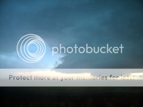
I know core punching is not recommended but have been doing this for a few years now. We core punched a supercell that developed behind the main msc type feature that developed in NE CO today. This was what we saw when we appeared from beneath the core....

Our view was soon obscured because of the swd motion of the core. The next 20 minutes was hell on earth with golf ball and larger hail moving with the 70mph wind gusts - our already compromised windscreen held - thank god!

Currentl at the Super 8 in Lamar.

http://www.net-weather.co.uk/forum/index.p...pe=post&id=2959
 
anyone here looking at radar - more nice cells heading our way for tonight.
 
rather dissapointed that 48 views and not one response. Not quite sure what to make of it to be honest.
 
Tired - I've done over 7,000 miles in less than 3 weeks so far in temps at times exceeding the record temps we had in the UK a couple of years ago - and that was one day of 38c.

Guess you guys are much more used to it and don't get excited as we do.
 
Kewl - we were scrambling for items to hold up in front of windows we expected to shatter at any moment. Weird thing was some of the hail was very soft and just exploded on impact rather like sleet. Have been trying to work out what causes hail like that but not done so far.

That said, have great footage of 2 inch hail hitting the road and vehicle.

Some of the words uttered in our vehicle ranged from - well - cannot be repeated here eh?
 
We're just down the road at the Days Inn. :) (Whee! North facing window on the second floor -- another CG!)

The storm you punched was extremely nasty and likely throwing baseballs or grapefruits. Glad you made it through in one piece!
 
thanks man - lets just say in 6 years on chasing this one rated as one of the most intense and then to come out on the southern side and see that spinning updraft!

Have you looked at wv images and radar. Seems like a ML jet streak forcing moisture over the mountains, expect it to get nasty next hour/ 2 hours.
 
Pic

Awsome pic Matthew! Glad your windows held, also, I too have ran into large "soft" hailstones before and believe that maybe they melted some before hitting the ground due to somewhat high freezing levels.
 
cheers - that is what I thought - the first time I have experienced hail like that to be honest. What I really liked was the fact they left a brief 'condensation' imprint on the inside of the windscreen - very kewl. Have to say however the HARD 1/1.2 inch hail we had yesterday just S of Las Vegas, NM was impressive - the air smelt like pine and the road was white - first time I have seen that too!

Barons really helped this year.
 
Matthew we were in the same position as you on on the Kiowa Co. storm the other day. Here are a few pics. Also I was wondering what vehicle you were in as there were 3 or 4 vehicles that seemed to stay huddled together as we viewed the storm from that side.

vid capture
vidcaps007.jpg


Picture is blurred from rain and hail falling in between us and the meso.
firstchase036.jpg


day4-43.jpg
.
 
Pics

Truly spectacular pics people!! Wish I could have been there! To me storm structure/wallclouds like the above from Colorado are just as awsome to see as a large tornado!
 
radar pics of Kiowa County

I was with Darin maneuvering around the storm and was able to get some friends to save some radar images. The first image was saved after a hook echo had slowly disappeared. However, you can still pick out a hint of it on the reflectivity. The yellow circle is basically centered over Sheridan Lake. We may have also seen another wall cloud crossing the street shortly after passing Sheridan Lake. The second image was a saved later that night, with the storms taking their time to move east. The red circle identifies the same storm cell.

[Broken External Image]:http://www.storm3000.com/chase2005/radar1.gif

[Broken External Image]:http://www.storm3000.com/chase2005/radar4.gif


Owen
 
Back
Top