Mike Smith
EF5
With regard to Hannah's annotated map of the long-track supercell: why would NWS PAH take their radar offline during the storm?
It says a power outage took NWS Paducah's radar offline.With regard to Hannah's annotated map of the long-track supercell: why would NWS PAH take their radar offline during the storm?
It says a power outage took NWS Paducah's radar offline.
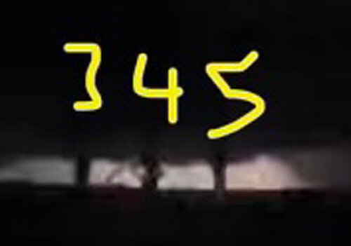
I have no idea if this is legit or not. I suspect it isn’t. It’s supposed to be a screen shot of a video taken last night with many vortices Illuminated by lightening. I hope someone has more info on it than I do. It was sent to me because I have an obvious interest in storms.View attachment 22380

Matt, but the radar was down all evening. Why wasn't it put back online? Thanks.
Maybe this belongs more in the thread about poor media use of weather terminology (in fact, I will post a link to this from there), but I was reading a Wall Street Journal article about this event just now, and it was so frustrating. They interview and quote meteorologists, yet still come away with nonsense like this:
“…In all, the National Weather Service on Friday received reports of 37 tornadoes across Arkansas, Illinois, Kentucky, Missouri, Mississippi and Tennessee. They arose from a single severe thunderstorm system forged in the vise of a high-pressure system from the east and a colder low-pressure front from the west on a day when temperatures in central and southern states reached near-record highs. The colliding fronts drew a plume of warm, moist air from the south and pushed it into the upper atmosphere. As the plume rose, meteorologists said, the water vapor it held chilled and condensed into water. That released the energy needed to fuel a titanic explosion of whirlwinds.…”
“…As typically happens, powerful winds at ground level and high in the atmosphere lit the fuse for the tornadoes, the scientists said, with the former blowing in one direction and the latter in the other. That tilts horizontal winds into a vertical funnel. A kink in the jet stream—narrow bands of strong wind in the upper atmosphere at high latitudes—may also have added a kick to these wind storms...”
“…Tornadoes typically spring into being one after another in a line as a storm system advances, often appearing and disappearing in minutes. But Friday’s twisters arose mostly in isolation, meteorologists said. A single twister that formed near Little Rock, Ark., held itself together for hours as it plowed its way across four states, scientists said—with devastating consequences.”
And they couldn’t even get the tornado ranking scale correct - note reference to F-scale, not EF-scale:
“Meteorologists rank tornadoes on a six-point scale known as the Enhanced Fujita scale, from F0 (wind speeds up to about 85 miles an hour) to F5 (winds in excess of 200 miles an hour). An F1 tornado, with wind speeds of about 110 miles an hour, can peel the roof from a house, overturn a mobile home or blow a car off the road...”

Deadly Tornadoes That Ravaged Six States Tied to Weird Weather Patterns
The tornadoes that ripped through six states in as many hours Friday night were spawned by unusually hot, humid weather at a time of year when twisters are rare, federal weather scientists said.www.wsj.com
If anyone has a velocity radar loop from the tornado that struck Bowling Green, I would love to see it. There was an interesting "shift" or rapid reformation of the meso towards the south right before it hit Bowling Green which caught some people off guard. There was so much going on that evening, it grabbed my attention, but I did not have time to record it. I would love to see how it actually developed.
I am donating 100% of my own profits from the sales of my book "The Ultimate Storm Survival Handbook" (link below) to relief efforts for one year. It's only $4.99 for the e-version and it makes a good gift. Thank you.
