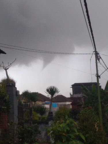
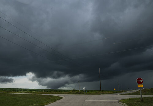
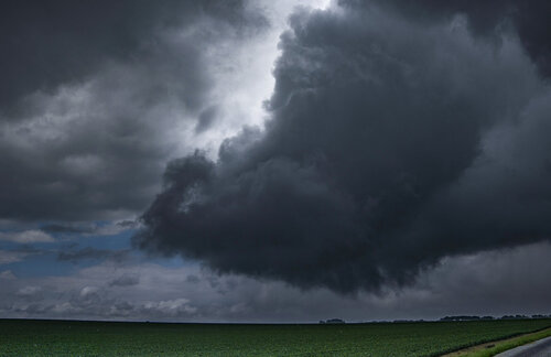
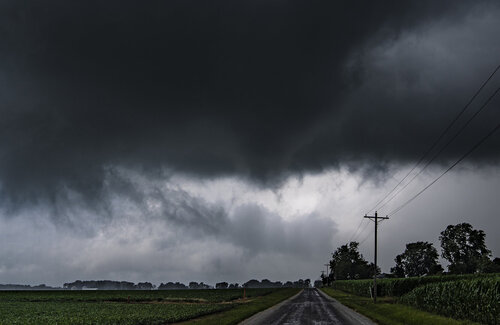
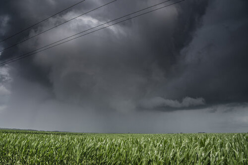
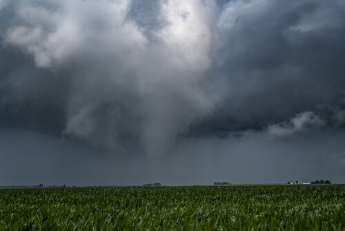
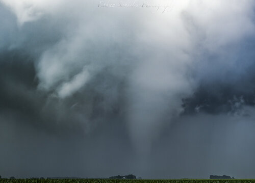
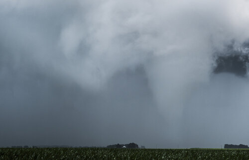
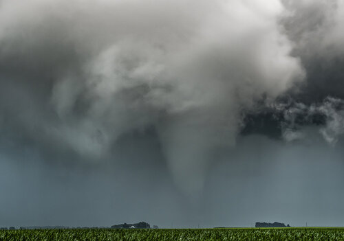
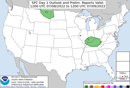
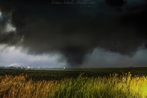
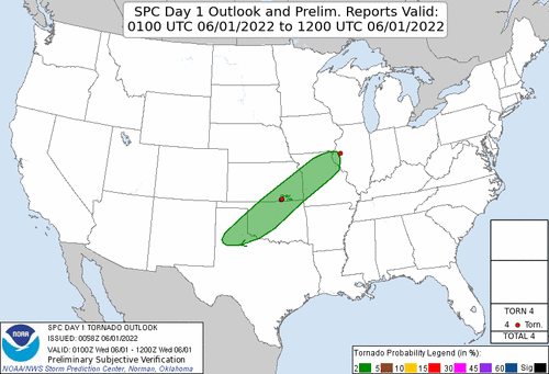
I have a couple others to add to this list from this year on July 8, 2022. There was no 2% out, barely a general thunderstorm risk, we had a LP supercell go up on a mesoscale low in West Central IL and produce a photogenic tornado that sat stationary for several minutes before dissipating. It was rated EF-0 due to just hitting bean/corn fields and sitting largely stationary. Here are some photographs I took:
Large rotating wall cloud develops
Mesocyclone develops and immediately begins occluding
Funnel cloud forms to my due north and produces a cloud of tree and crop debris as it crosses the county road I'm on.
The original funnel/tornado lifted and is getting ready to plant to my E. I believe there is still ground circulation here
Nearly fully condensed white tornado just E of Spring Lake Park, Mcdonough County
Continuing onward to the ESE at a slow rate. 70mm, F/2.8 on my Sony A1
Tornado kicking up crop debris and ropes out shortly after this to my ESE before getting to US-67.
Tornado outlook that morning, didn't change much throughout the day. The only reason I was out, was I was grabbing lunch and get ready to head out to my birding spot and shoot photos for the afternoon. That ended up being a bust, however the storms/surprise tornadoes were not