Quincy Vagell
EF4
I've been known to chase a lot of junk throughout the years and sometimes it's the "MRGL" days that wind up the most unexpected, especially in the northern Plains. Not all of these chases below are from that area, but many of them are. None of these events were prolific tornado producers and most were lower-end days, but that makes them even more unexpected.
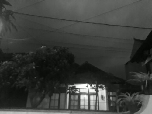
June 28th, 2014: This was not supposed to be a chase day, nor was it a memorable day for most chasers (not a big event and no thread on here), but it was probably the night that I first fell in love with Nebraska. I got to a hotel in Lincoln, NE late in the afternoon on the 28th, prepping for the next day's chase. After checking in, I noticed a few blips on radar showing up to the northwest. I decided to give them a shot, since it was a relatively short drive. An expansive shelf cloud formed just as the sun was beginning to set, putting on a show in the western sky. I watched the storms slowly inch southeastward over the course of the next several hours. Later in the evening, I sat in a field with fireflies and constant lightning in the distance. The storms were not particularly severe, but it was the first time I had really watched storms in the Plains for any length of time without seeing many chasers around at all. I was still relatively new to chasing at this point, so it was a very new experience. Even though I had been in northeastern Nebraska less than two weeks earlier for a historic set of tornado chases, there was something about June 28th that was, in a different way, nearly as magical. https://www.quincyvagell.com/2014/06/28/nebraskan-night/
June 2nd, 2015: Again, not a big chase day, but it ended up being a headache for me that ended on a more pleasant note. It was the first time I've chased in North Dakota and it was very unremarkable for most of the day. Storms struggled to intensify and just before dusk, a deer jumped out in the middle of nowhere and totaled the front end of my car. I'm not sure if I was even chasing anymore at this point, but as I remained parked off the road in frustration, I noticed that a collapsing thunderstorm to the east looked much more impressive than one would have probably expected, based on radar. I didn't expect to have my car wrecked that day, but I also didn't expect to see decent storm structure after most of the day was a relative snooze-fest in the chase department. https://www.quincyvagell.com/2015/06/03/sunset-structure/
September 20th, 2015: This was perhaps one of the craziest plans I've ever had. I drove from Atlanta, GA to the Texas panhandle for what was a small target for a single, conditional chase day. Wind shear was low-end and instability was modest, but the ingredients were just enough for a long-lived, slow-moving supercell. I don't believe I saw anyone out chasing at all as I watched the storm grow and evolve. That was the first time I used the term "panhandle magic," a term I've used quite a bit since then. Compared to the previous two chases, the storm event map for this on SPC looks very bare, with only three total severe reports. By the looks of the storm, one might have expected more. https://www.quincyvagell.com/2015/11/14/panhandle-magic/
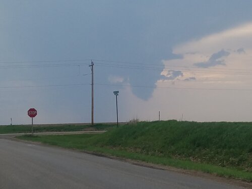
June 13th, 2016: I started the day in South Dakota, planned to chase in Colorado, but had no idea I'd see a tornado in Texas... After visiting Mount Rushmore the day prior, I left southwestern South Dakota for eastern Colorado. It was a long drive to get into position and after finally getting there, I was not thrilled by the messy nature of the storms. While striking out in Colorado once again (I had no tornadoes yet in the state in my young career and very few quality chases), I made a last ditch effort to the Texas panhandle, where a mesoscale setup was becoming increasingly favorable for severe storms. Just north of Amarillo, I watched an expansive, lowering wall cloud develop. A few funnels formed from time to time, but there was no tornado, yet. I went in for a closer look and for a few minutes, I watched a tornado form, just as the whole system went from photogenic to a sloppy mess of wind/rain/hail. The area was not outlined for a tornado threat via SPC at 13z, but went on to get a 5% delineation by 01z. https://stormtrack.org/community/threads/2016-06-13-reports-co-ks-mt-nm-ok-tx-wy.29253/
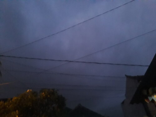
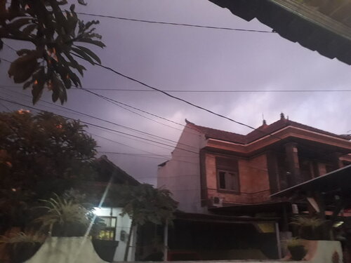
August 3rd, 2016: This was one of those setups in which there were a lot of severe storms, but contrast was fairly low, storm modes were messy and most who were chasing were probably left driving in circles and/or hopelessly parked on the side of the road in frustration. It was almost sunset and radar looked like trash. Storms were not showing much rotation at all, but out of nowhere, one of these blips on radar quickly produced a tornado near Warwick, ND. The chase went from 0-60 in a flash and I found myself chasing a towering updraft, producing a tornado, back-lit by sunset. I didn't get particularly close, but in this case, that allowed me to get a better view of the storm's structure. https://www.quincyvagell.com/2016/08/04/north-dakota-tornado-aug-3-2016/
August 9th, 2016: One of my favorite non-tornado chases to date in terms of storm structure. The chase day was off to a slow start before an intense supercell formed in southeastern Montana. I began chasing the storm as it moved into northwestern South Dakota. Multiple supercells produced a show, along with a prolific mammatus display. https://stormtrack.org/community/threads/2016-08-09-reports-mt-nd-sd.29317/
April 12th, 2018: This was my first wildfire chase and I had no idea what to expect. It ended up being the beginning of a historic wildfire event across western Oklahoma. Watching miles and miles of wildfires up-close was something I had never experienced before and I'm not in any rush to do it again. Even though it wasn't really a storm chase, it was certainly unexpected. https://www.quincyvagell.com/2018/04/16/wildfires/
May 11th, 2018: I meandered out to the Texas panhandle once again for a very conditional chase. Low-level moisture was lacking, a sizable capping inversion was in place and convergence was weak, so expectations were tempered. A wildfire ignited near Goodnight, TX and I attempted to go in for a closer look. Traffic detours shot that plan down fairly quickly and as it worked out, a dry thunderstorm ignited about 15 miles to the northeast. This fire-induced thunderstorm went on to evolve into a supercell. The thunderstorm created new fires with later lightning strikes and I think it's safe to say this was an unexpected outcome for the chase day. https://stormtrack.org/community/threads/2018-05-11-reports-tx-wy.30182/
In general, I've had some marginal or otherwise low-expectation chase days wind up producing either prolifically photogenic storms and/or otherwise fascinating storms to chase. This is probably why I continue to chase just about anything that I'm able to, as you never know what you might find out there...
June 28th, 2014: This was not supposed to be a chase day, nor was it a memorable day for most chasers (not a big event and no thread on here), but it was probably the night that I first fell in love with Nebraska. I got to a hotel in Lincoln, NE late in the afternoon on the 28th, prepping for the next day's chase. After checking in, I noticed a few blips on radar showing up to the northwest. I decided to give them a shot, since it was a relatively short drive. An expansive shelf cloud formed just as the sun was beginning to set, putting on a show in the western sky. I watched the storms slowly inch southeastward over the course of the next several hours. Later in the evening, I sat in a field with fireflies and constant lightning in the distance. The storms were not particularly severe, but it was the first time I had really watched storms in the Plains for any length of time without seeing many chasers around at all. I was still relatively new to chasing at this point, so it was a very new experience. Even though I had been in northeastern Nebraska less than two weeks earlier for a historic set of tornado chases, there was something about June 28th that was, in a different way, nearly as magical. https://www.quincyvagell.com/2014/06/28/nebraskan-night/
June 2nd, 2015: Again, not a big chase day, but it ended up being a headache for me that ended on a more pleasant note. It was the first time I've chased in North Dakota and it was very unremarkable for most of the day. Storms struggled to intensify and just before dusk, a deer jumped out in the middle of nowhere and totaled the front end of my car. I'm not sure if I was even chasing anymore at this point, but as I remained parked off the road in frustration, I noticed that a collapsing thunderstorm to the east looked much more impressive than one would have probably expected, based on radar. I didn't expect to have my car wrecked that day, but I also didn't expect to see decent storm structure after most of the day was a relative snooze-fest in the chase department. https://www.quincyvagell.com/2015/06/03/sunset-structure/
September 20th, 2015: This was perhaps one of the craziest plans I've ever had. I drove from Atlanta, GA to the Texas panhandle for what was a small target for a single, conditional chase day. Wind shear was low-end and instability was modest, but the ingredients were just enough for a long-lived, slow-moving supercell. I don't believe I saw anyone out chasing at all as I watched the storm grow and evolve. That was the first time I used the term "panhandle magic," a term I've used quite a bit since then. Compared to the previous two chases, the storm event map for this on SPC looks very bare, with only three total severe reports. By the looks of the storm, one might have expected more. https://www.quincyvagell.com/2015/11/14/panhandle-magic/
June 13th, 2016: I started the day in South Dakota, planned to chase in Colorado, but had no idea I'd see a tornado in Texas... After visiting Mount Rushmore the day prior, I left southwestern South Dakota for eastern Colorado. It was a long drive to get into position and after finally getting there, I was not thrilled by the messy nature of the storms. While striking out in Colorado once again (I had no tornadoes yet in the state in my young career and very few quality chases), I made a last ditch effort to the Texas panhandle, where a mesoscale setup was becoming increasingly favorable for severe storms. Just north of Amarillo, I watched an expansive, lowering wall cloud develop. A few funnels formed from time to time, but there was no tornado, yet. I went in for a closer look and for a few minutes, I watched a tornado form, just as the whole system went from photogenic to a sloppy mess of wind/rain/hail. The area was not outlined for a tornado threat via SPC at 13z, but went on to get a 5% delineation by 01z. https://stormtrack.org/community/threads/2016-06-13-reports-co-ks-mt-nm-ok-tx-wy.29253/
August 3rd, 2016: This was one of those setups in which there were a lot of severe storms, but contrast was fairly low, storm modes were messy and most who were chasing were probably left driving in circles and/or hopelessly parked on the side of the road in frustration. It was almost sunset and radar looked like trash. Storms were not showing much rotation at all, but out of nowhere, one of these blips on radar quickly produced a tornado near Warwick, ND. The chase went from 0-60 in a flash and I found myself chasing a towering updraft, producing a tornado, back-lit by sunset. I didn't get particularly close, but in this case, that allowed me to get a better view of the storm's structure. https://www.quincyvagell.com/2016/08/04/north-dakota-tornado-aug-3-2016/
August 9th, 2016: One of my favorite non-tornado chases to date in terms of storm structure. The chase day was off to a slow start before an intense supercell formed in southeastern Montana. I began chasing the storm as it moved into northwestern South Dakota. Multiple supercells produced a show, along with a prolific mammatus display. https://stormtrack.org/community/threads/2016-08-09-reports-mt-nd-sd.29317/
April 12th, 2018: This was my first wildfire chase and I had no idea what to expect. It ended up being the beginning of a historic wildfire event across western Oklahoma. Watching miles and miles of wildfires up-close was something I had never experienced before and I'm not in any rush to do it again. Even though it wasn't really a storm chase, it was certainly unexpected. https://www.quincyvagell.com/2018/04/16/wildfires/
May 11th, 2018: I meandered out to the Texas panhandle once again for a very conditional chase. Low-level moisture was lacking, a sizable capping inversion was in place and convergence was weak, so expectations were tempered. A wildfire ignited near Goodnight, TX and I attempted to go in for a closer look. Traffic detours shot that plan down fairly quickly and as it worked out, a dry thunderstorm ignited about 15 miles to the northeast. This fire-induced thunderstorm went on to evolve into a supercell. The thunderstorm created new fires with later lightning strikes and I think it's safe to say this was an unexpected outcome for the chase day. https://stormtrack.org/community/threads/2018-05-11-reports-tx-wy.30182/
In general, I've had some marginal or otherwise low-expectation chase days wind up producing either prolifically photogenic storms and/or otherwise fascinating storms to chase. This is probably why I continue to chase just about anything that I'm able to, as you never know what you might find out there...
Last edited:
 Waterspout over lake Michigan 7/11/17.
 Farina IL 4/29/17.
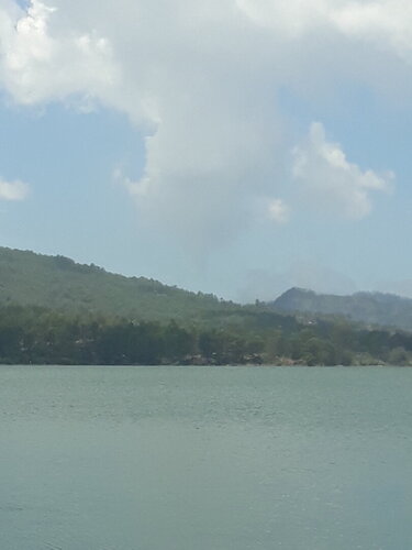


.jpg")


