cedwards
EF5
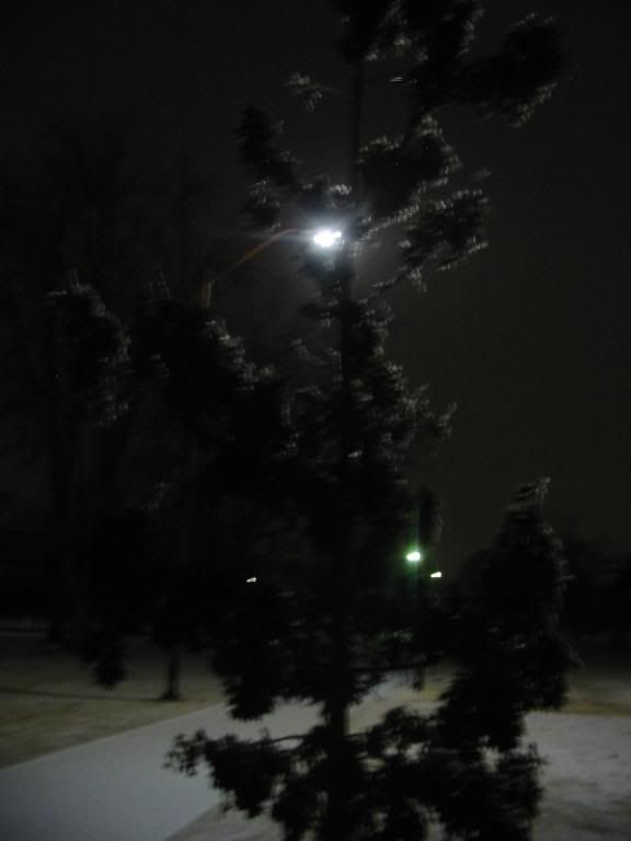
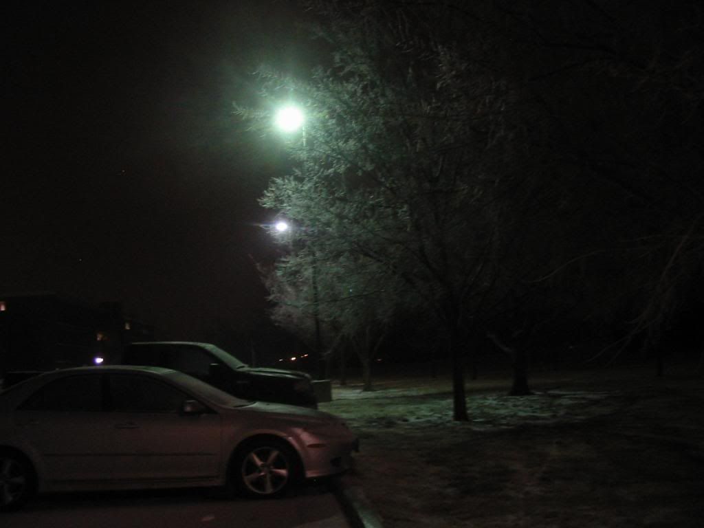
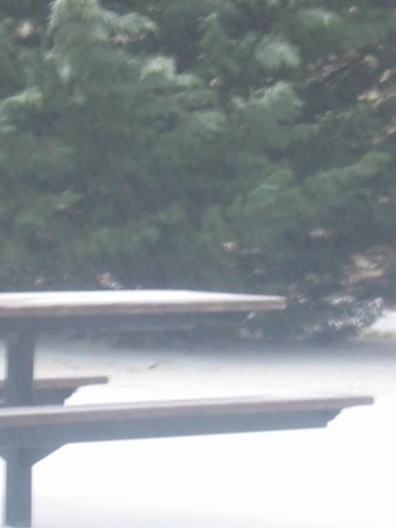
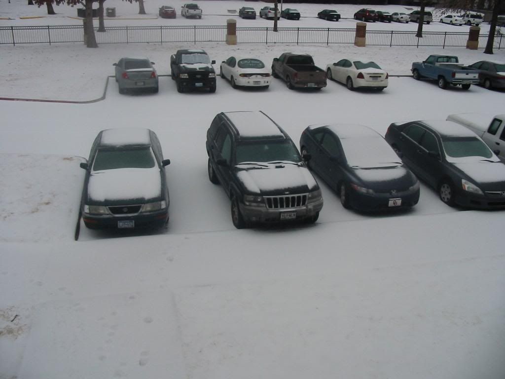
You can add one more casualty to the ice in Shawnee, OK.
We had an estimated 1/4" of ice here. I was taking out the trash and slipped on the driveway then slid 10 feet down to the street.
I'm ok, but will be sore in the morning.
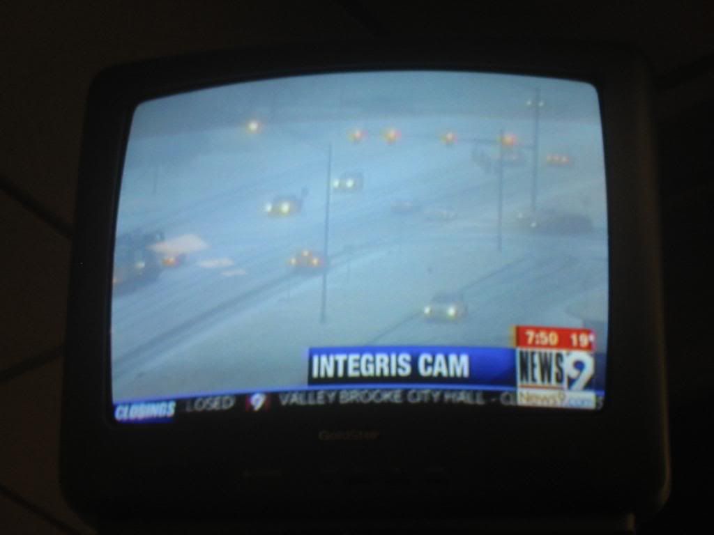
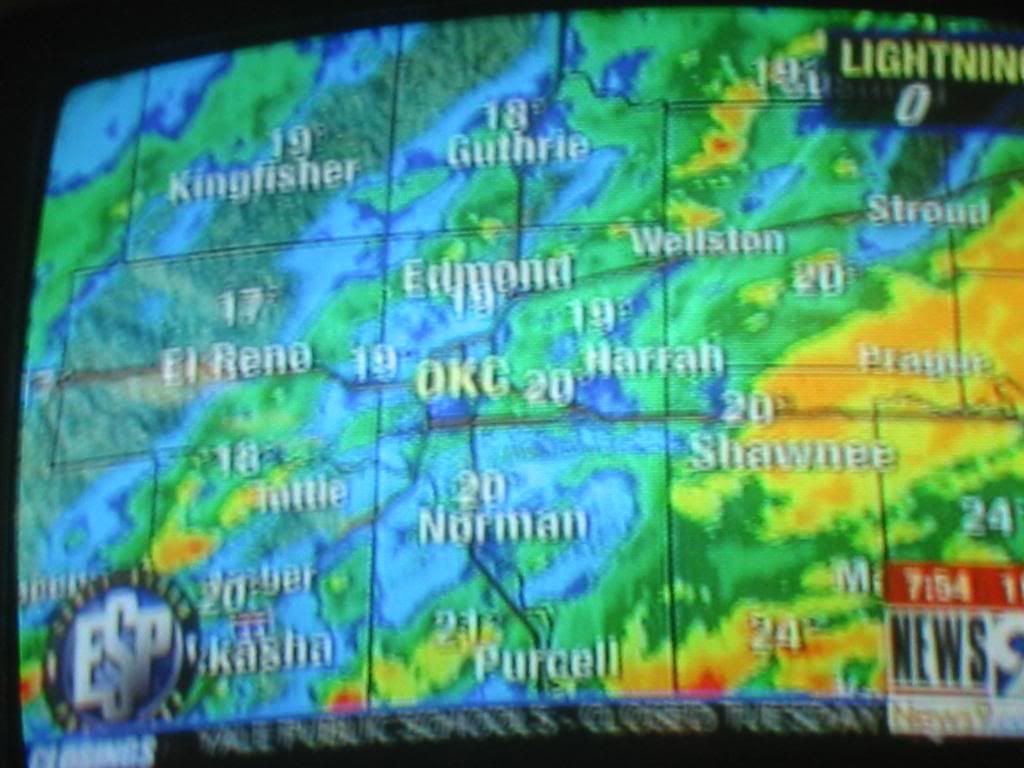
Earlier, we ordered pizza. the first place called 2 hours later and canceled the order due to the drivers all getting stuck. The second place took an hour to deliver. The driver said he never learned to ice skate, but his car learned.
We had an estimated 1/4" of ice here. I was taking out the trash and slipped on the driveway then slid 10 feet down to the street.
I'm ok, but will be sore in the morning.
Earlier, we ordered pizza. the first place called 2 hours later and canceled the order due to the drivers all getting stuck. The second place took an hour to deliver. The driver said he never learned to ice skate, but his car learned.