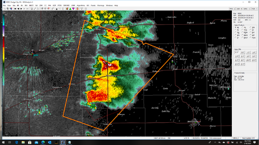
I suspect the mesoanalysis was somewhat liberal with the degree of destabilization in W OK. I suspect there was more CIN than depicted and that it began closing back up earlier than expected. The updraft of that storm looked to be shriveling up pretty early on.
Furthermore, a look at visible satellite confirms that there had to have been some residual stability pervading most of WC/SW OK. I've delineated the cloud streaks indicative of waviness due to stability throughout the area. If you look at the animation of these streets you'll note that around the time the northern fringe has definitely crept under the south edge of the anvil is when the radar presentation began deteriorating.
View attachment 27439
The bottom line is that SPC sfcOA is not gospel - it is generally pretty good, but it can be off at times, and the coarseness of it can make it unreliable on the edges of larger scale features such as land mass boundaries (case in point, the dryline area).