2024-05-01 EVENT: NE/KS/OK/TX

Joined
May 6, 2009
Messages
113
Location
Wichita, KS
May has arrived, and with it perhaps an alright day to get out and about. I plan to head west out of Wichita tomorrow afternoon towards the dryline setting up near Dodge, perhaps a bit east or south; we'll see where the real-time surface is throwing the dryline. RAP is panting a target a bit east of DDC while the NAM drops things a bit more in favor of the panhandle. Southwesterly winds really begin to back the dryline around 23z with dryline recession 00 to 01z. Supercell composite values are holding near 15 in the area with helicity values being pretty dang healthy. Lid strength values are hovering around 4-5 so I'm hopeful that might keep things somewhat discrete if an updraft can get going. Composite EHI is plentiful at 5+ for the 1km and over 11 near Kiowa county. RAP and NAM both agree on mid-level lapse rates being plentiful in keeping things cooking.

All told, RAP, NAM and GFS aren't quite agreeing on where convergence and everything will setup. RAP and GFS somewhat agree on a more DDC target while the NAM drops things into the panhandle. We shall see how it pans out.
 
Looks like a solid setup at the dryline bulge, wherever it ends up being. Models say anywhere from the OK Panhandle through central KS. It's on the fringes of the jet, but there should be more than enough flow to get the job done. At least 20kts of midlevel flow, deep moisture, a single slow-moving storm, CAMs keeping it discrete through sunset, a decent low-level environment once the LLJ ramps up.

If I was out, I'd be heading to Wichita for the night and expecting to move pretty much due west in the morning.
 
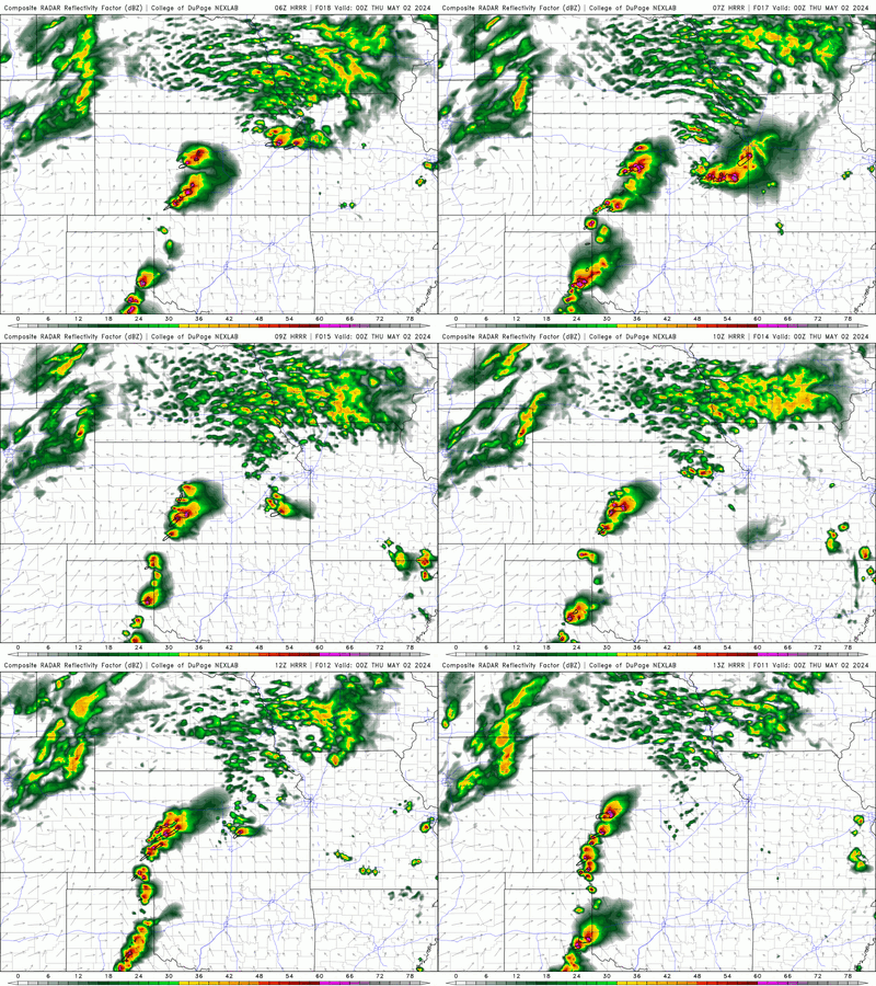
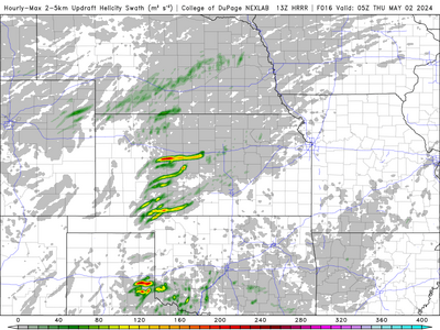
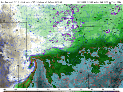
HRRR seems to like things so far, each run from 06 to 13z has maintained a relatively discrete mode. It's trended some recession to the west, but I think for now with a quick look at this morning I'll be sticking with the original plan to head west from Wichita. Hopefully we can get some good moisture return from the south following the overnight activity.

NEXLABdpdt-00Z-20240502_HRRRFLT2_prec_radar-10-100.gif1714573724930.png

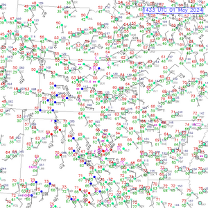
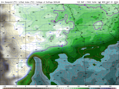
So far, HRRR and RAP seem to be verifying with METAR obs regarding moisture advection. The 14z run is matching rather well in SW Kansas and the OK panhandle, hopefully that bodes well for its future thoughts on the day.

1714574339601.png
1714574348617.png
1714574406399.png
 
At 1pm Central I discern two useful boundaries. One is in northern Oklahoma; and, it should lift into southern Kansas. The other is the obligatory Red River boundary which should also lift north.

Northern one should be involved in a TP like feature with lots of low-level shear. Southern should intersect the DL with a ton of CAPE. Some models have more CAPE north, but I'm going to say its greater strength is low-level shear.

They should be fairly equal targets. Glad I'm virtual chasing. My gut kind of likes south, but my head can't punt north yet.
 
Kind of a crap shoot at this time. The southern target has a better EHI and possibly a shortwave inbound. The HRRR also has a cell showing up and turning right near Childress, but the better shear is to the north near the TP with some upper support. I'm thinking the southern target might get it done during the daylight and with less of a crowd to contend with.
 
Back
Top