My morning was spent getting my windshield replaced and installing the new main rails for the hail shield (see the April 16 reports thread for the story on that). This was another event where the potential for supercells and tornadoes in the St. Louis metro would keep me close to home for most of the day.
A warm front was located in the northern metro area, which was the primary feature of interest to watch. I started out at home watching an area of new storms to my southwest that eventually developed in a promising-looking supercell structure. I could see the base of the storm from home. It appeared that it had a good chance to reach the warm frontal zone roughly along I-70, but as I headed west to intercept it along I-64 at Fairview Heights, it vanished completely.
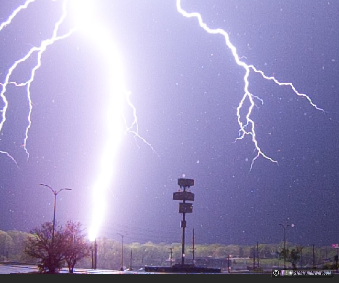
I turned my attention to established supercells moving into the northern metro, noting several cells on radar west of the city that looked like they had potential to organize and come right through the city. The northernmost of these became tornado warned in the unreachable Mississippi/Illinois River confluence area. I waited for it along I-270 at Spanish Lake. New storms started going up ahead of this activity to my southwest, which began producing some good cloud-to-ground lightning. I moved west to Ferguson to get a closer vantage point, and caught a nice negative cloud-to-ground strike on the high speed camera at 6,000fps.
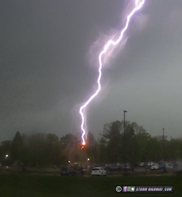
New cells continued to develop through the metro, with a couple of them heading for downtown. I headed south on Highway 67, but these new storms beat me there by about 10 minutes. On the way, my passenger side dashcam captured another close lightning strike to a tree.
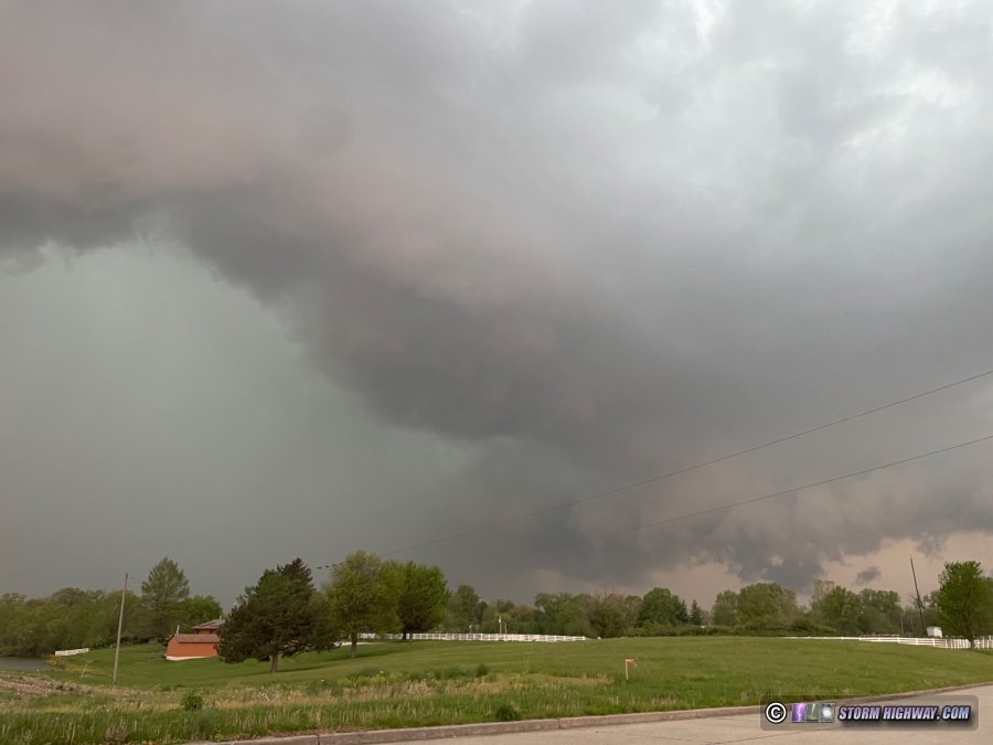
The storms were evolving into a large QLCS with embedded supercell structures, prompting widespread tornado warnings for the numerous mesovortices that were developing along the leading edge. I stayed ahead of these on Highway 161 from Belleville to east of Centralia. The best structure I saw was this, a large RFD surge with forward-flank shelf cloud leading back west into a rain-wrapped meso:
A few persistent mesovortices developed as I led the storms east, but none were close to producing tornadoes when I saw them. Tornado sirens were going off in nearly every town I drove through.
The best captures of the day are in this video: