Mike Smith
EF5
Given all of the commiserating about the "state of the season" in that thread, I'm surprised no one has started a thread pertaining to Saturday's potential in Kansas east of 100°W (DDC-HLC) and in Oklahoma north of a BVO-SWO-CSM line. All models show rapidly dropping central pressure in the KS surface low (to quite low values for May) which expected to be about 30 SSE of DDC at 00Z = nearly perfect.The 18Z 3km NAM's SIGTOR reaches a value of 9 between ICT and PTT at 01Z.
In terms of "chase-ability" (speed of storms, "classic" supercells, road network) this looks like one of the better Great Plains opportunities of the last two years.
As I live in ICT, I have the luxury of waiting until Saturday late morning to make a decision. If I were coming from a distance, I would probably start out in PTT.
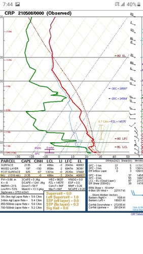
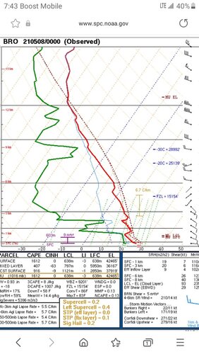
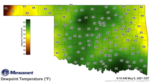
The Oklahoma threat is conditional: if the cap is breakable, there may be 2-3 tornadic supercells. If for some reason you could only chase in Oklahoma, I would start in WWD.
Stay safe, happy hunting, and let's hope the tornadoes stay in yet-to-be-planted corn fields.


