Greg Blumberg
EF4
What looked like a pretty good setup from my (and Tim Supinie's) point of view (per last night's 00 UTC runs) seems to have vanished. A few points primarily based on our analyses of the NWP solutions:
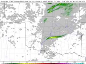
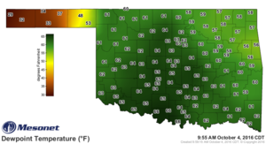
1.) 00 UTC NAM and GFS forecast soundings around the 21-00 UTC timeframe have southwesterly 850 mb winds just present near the dryline. This is noticeable along the central Oklahoma to Wichita, KS stretch of the dryline and seems to be a consistent issue with a few other model runs I've seen (e.g., the 4 km NAM and the NSSL WRF). I'm a little concerned about the possibility that storms won't initiate and if they do, they struggle with the drier air that is being advected inwards by the 850s. In fact, the dryline may be experiencing synoptic scale subsidence during the 23-02 UTC timeframe, which combined with the poor 850s suggests that parcels lofted upwards by the dryline vertical circulation will be quickly advected westward into an environment possibly experiencing synoptic scale descent. Some of the simulated IR imagery I've seen from the 00 UTC 4 km NAM has updrafts that seem to struggle to get going. The model simulated reflectivity doesn't really have any storms that get solidly going near the dryline.
2.) The lack of good 850s is related to the evolution of the 500 mb vorticity max in the 00 UTC NAM and GFS solutions. These forecasts suggest that this vorticity max will have entered in western KS by 18 UTC, and effectively, you can see that there really aren't any substantial surface pressure falls forecasted in the evening, suggesting that any lift may be primarily driven by surface cold pools or dryline/frontal circulations. Between 21 and 00 UTC these forecasts also suggest 500 mb heights may be rising over the TX/OK Panhandle. Not a favorable situation if you want a deeping surface low.
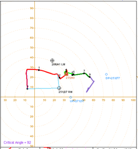
3.) These issues force a decision between which two potential spots to chase. First, you could go up into KS and get into an environment that may favor more mixed or linear modes of convection given the more unidirectional deep-layer shear parallel to the initiating boundaries. Or, you could take the risk and stick around the Enid, OK area and hope that the synoptic environment permits a good storm to form.
The 00 UTC NSSL WRF is encouraging though. It breaks out two supercells around 22 UTC despite the somewhat southwesterly 850 mb winds. It looks like the least offender of the bunch in this issue, so maybe things will work out. But, it could be similar to the night of April 24th, 2016, when one of the convection-allowing-models teased us with the prospect of supercells. Storms in southern KS/northwest OK really struggled that day.


