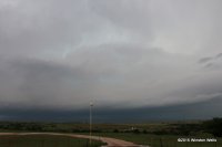
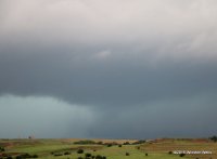
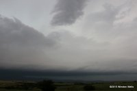
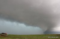
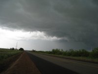
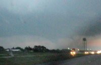
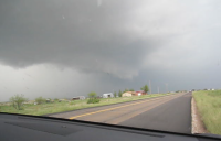
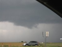
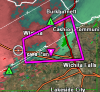
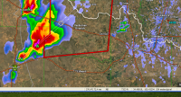
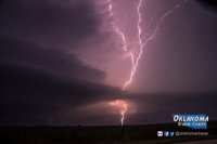
Throwback I guess. I can't believe I never typed a report up on this one. I edited a bunch of new images from this day, incredible to say the least and probably ranks in my top 10 chases for how close we got, the futuriousity of this particular tornado and the size of hail (larger than softballs). I started the day from chasing tornadoes previously in Nebraska and Wyoming near the WY/NE/CO border unsure if I could make it. I drove south and kept driving and driving and driving until I reached a line of supercells in the Texas Panhandle. It was clear none of the northern storms would do it. I got a glimpse of a rainwrapped stovepipe on the north storm before Elmer, but nothing impressive and never got any good photos or video of that one.
My first glimpse of the Elmer, OK storm was in Northwest TX as it was getting going and then well I'll cut to the chase


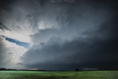
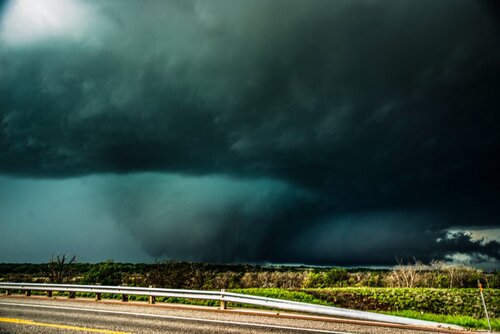
Tornadic supercell W of Quanah, TX. I sat in this spot about 10 minutes and a large tornado developed to the left between the inflow band and the area of precipitation. I originally thought this to be a different tornado than the Elmer, OK EF-3, but later confirmed to be on the ground for nearly an hour so it was the start of that beastly long tracked tornado.
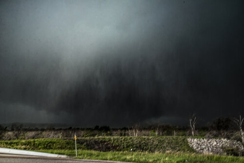
Fast forward to being at the Red River and looking SW and here is a series of photographs I shot:

24mm photograph looking SW from the Red River as the strong tornado is crossing the Red River for its second time back into Oklahoma. The roar was incredible here. Likely a combination of the intense/violent tornado and the huge hail coming from my SW in the RFD core.

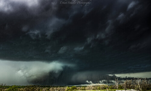
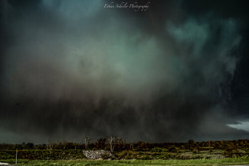
Even wider angle from a bit later, around 20mm F/2.8 on my Nikon D610. Look at that excellent tornadic structure. Wish I had my Sony A7RIII then!!

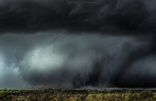
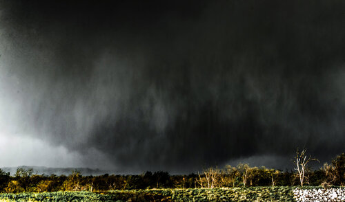
Zoomed in shot around 45mm as the tornado was approaching my position very fast like.

It is crossed the Red River now and has hit something significant as the vortex has turned a dark black and grown in size (not just because it's getting closer, but it is also widening out more).There were a couple small satellite tornadoes spinning up to the right in the streamwise vorticity current as well and being pulled back W/NW toward the main parent vortex.

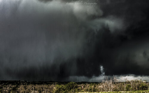
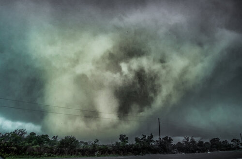
I moved a bit up the road past the bridge and looked back SW and fired a few off at 24mm on the Nikon D610 and I got this. I have a few sharper ones, but I love this one. Here is a sharper one:


The monster tornado had now approached my location and was closing in on a mile a way and was over 1 mile wide. I had to leave and now. My route to the S was blocked by extremely large hail and extreme winds over 100 mph. My path to the north? Also rewards me with monster hail and likely intense winds along the SVC, so I take the chances of just going north. Alongside me the tornado constricts into a photogenic barrel-like tornado with helical and horizontal vortices extending way out similar to the Langley, KS Tornado of 2012.

Tornado is now likely between 1/4-1/2 mile away. I can hear the incredible roar and there are numerous power flashes here including a propane tank that explodes. Luckily this area is highly rural and the tornado skimmed by Elmer to the S by just about a mile or so.

Tornado has transformed into a multiiple vortex structure before becoming a 1+ mile wide wedge again. I navigated north a bit and tried to get E, but about 2-3 minutes later was my last view as my vehicle was overtaken by a barrage of softball size hail and a wind gust I measured at 105.2 mph from the SW out of the RFD before hail destroyed our anemometer. The chase was almost over. We nabbed another tornado later on in the evening further S and E leaving our count officialy at 3 for the day, but 4 if you include satellites. Either way it was an epic day that I won't soon forget. Luckily the window was easy to repair. I try not to put myself in these positions, but man this was incredible. One of my favorite chase days for sure making it all the way from Wyoming to Texas in less than 12 hours and positioning perfect on a violent caliber tornado....
How did your day fare out?
