• A friendly and periodic reminder of the rules we use for fostering high SNR and quality conversation and interaction at Stormtrack: Forum rules

    P.S. - Nothing specific happened to prompt this message! No one is in trouble, there are no flame wars in effect, nor any inappropriate conversation ongoing. This is being posted sitewide as a casual refresher.

2015-05-15 Reports: CO/WY/KS/NE

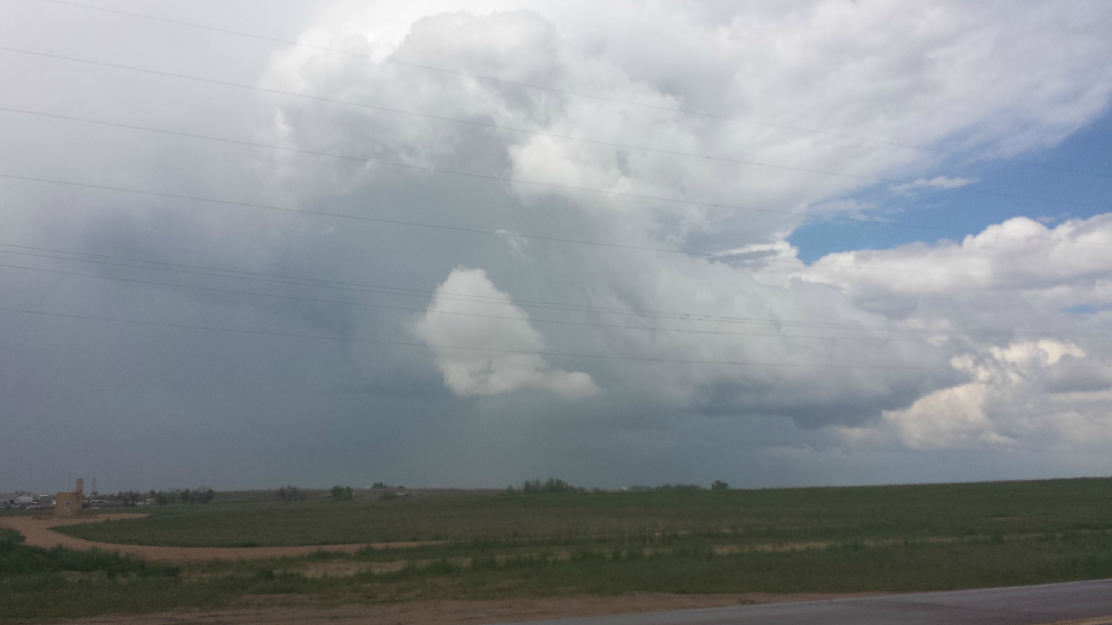
I wasn't planning on chasing today but when a storm goes severe and then tornado warned as it quite literally passes over your head...

I followed the storm that went tornado warned as it passed over Platteville, CO about 2:20 PM. Caught some hail and some decent rain off it and watched it struggle several times to organize and produce before it eventually petered off and died an hour later over Kersey, CO without doing anything interesting...at least not from my vantage point. One thing I did notice, however, that was the Denver radar data become unavailable for me (I was using radar.weather.gov) at about 1:30 PM as a tornado warned storm passed over it and is still unavailable.

rP0Yyxz.jpg
 
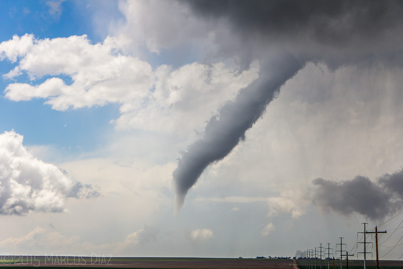
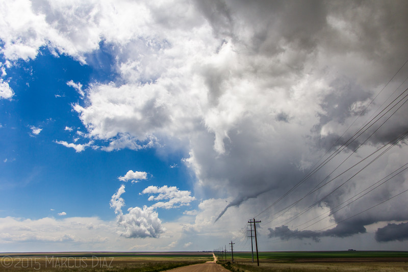
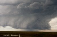
So Thursday evening I drove up to Colby with intentions of chasing somewhere along I-80 in NE on Friday. When I noticed the dryline was further west, I figured I'd be in Goshen County, WY. However, after looking through some morning precip models, I decided to stay in CO and play whatever storms formed on the wrap around section of the surface low.I was near Raymer, CO when I met up with @ericjkelly where we were debating between the new towers to our east, or the now SVR warned storm about to trample KDEN. Easy choice was to fly south to that storm and watch it. We came up on a massive low mesocyclone on our storm. Got on the dirt grid to get closer, and noted a large cone shaped tornado in the rain.

[Broken External Image]:http://www.thetxwxchaser.com/Weathe...dams-Co-Colorado/i-HLZmDCB/0/L/IMG_9037-L.jpg

We then got to an area somewhat clear of obstructions and let the storm approach. The tornado had lifted but the wall cloud persisted. The small wall cloud eventually began morphing into a fat stovepipe funnel.

IMG_9079-L.jpg


Supposedly this funnel touched down a few times as it roped out. We then watched the funnel rope out. What was amazing is the funnel is literally all that was left of the updraft of the storm. The RFD had pushed well NE of the storm, cutting off the inflow. So once the funnel was gone, the storm evaporated completely.

IMG_9091-L.jpg


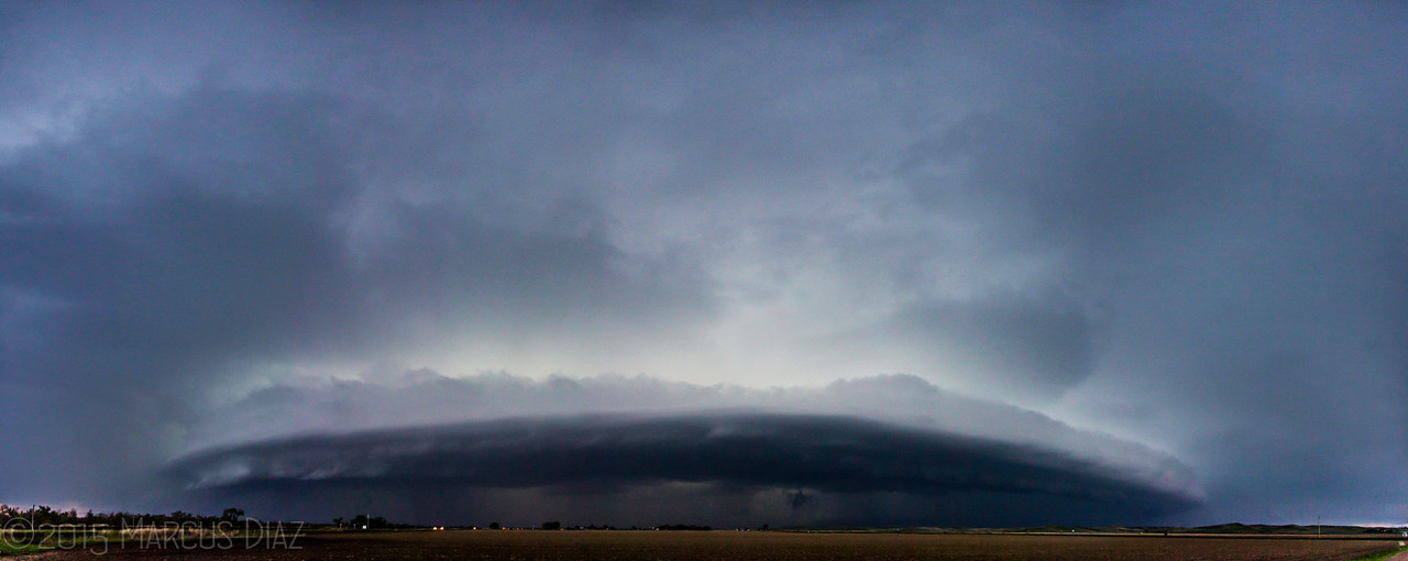
We then drove into souther NE panhandle and messed with those storms. After failing to do anything, we jumped ahead of the severe line coming out of NE CO. Had great structure and an awesome lightning show.

pano-2-X3.jpg


We made our way back to the same hotel in Colby for the next day. My first Colorado tornado, and pretty much had it to myself aside from a few Denver locals.
 
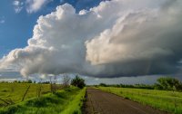
We choose not to go to Western Nebraska/Eastern Wyoming and went for the KS target that was in the potential too low area per the SPC. 200 miles from any tornado chance we saw a tornado by Netawaka Kansas. It was not a strong tornado and was brief but the structure by Robinson was very nice.

Attached is my photo of the end of the tornado with a faint rainbow (Seems to be the theme this year with Medicine Lodge and Lamar) and two structure shots from my chase partner Allison.

Overall a very satisfying chase due to our low expectations.
 

Attachments

  • 1.jpg
    1.jpg
    195.5 KB · Views: 330
  • 2.jpg
    2.jpg
    135.1 KB · Views: 313
  • 3.jpg
    3.jpg
    236.5 KB · Views: 313
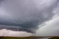
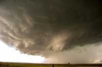
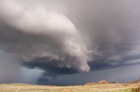
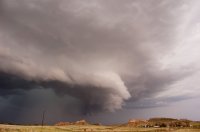
The Nebraska panhandle gave me a long and very enjoyable chase day that centered first on the region near Sidney, NE and then later a bit further east near Big Springs, NE. I chased three storms that produced nice RFD cuts, a few funnels, and, as the day ended, great structure.

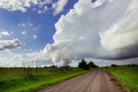
The first storm of the day fired mid-afternoon just to the southeast of Sidney, which was my original target. I hopped off of westbound I-80 at Lodgepole, NE and watched the storm slowly get organized as it moved north and a bit west. I was nearly under the base just west of Sidney when the first of several well-defined funnels appeared. As the storm crossed U.S. 30 I thought it was going to get it done. The surface winds were howling into the storm, but the inflow was much too cold. Here's a picture of the storm's early funnel as it became TOR-warned. The view is to the west from U.S. 30 three miles west of Sidney:

IMG_4946.JPG

The funnel soon disappeared, but the storm continued to wrap up. Here's a shot of its emerging structure and RFD slot from a few miles further west on U.S. 30. The view is also to the west:
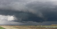
IMG_2372.JPG

I followed the storm with everybody else on a secondary road for a few miles to the north but I eventually let it go and moved back to the area near the Sidney exit of I-80. After a fairly long wait a second wave of storms moved north from Colorado, with the base of one of them passing directly over the stores and restaurants near the interstate. This cell behaved similarly to the day's first storm. Here's the first lowering of small, compact wall cloud as the storm moved nearly due north. The view is to the west:
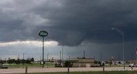
IMG_2433.JPG

I and many other chasers bolted north a few miles on U.S. 385 after it. The storm did eventually wrap up nicely but did little else. This shot looks north from U.S. 385 a few miles north of Sidney:
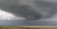
IMG_2451.JPG

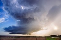
The light and visibility were great all afternoon, but I eventually decided to head back east on I-80. As I neared the Big Springs, NE area yet another wave of convection was moving north from south of the Julesburg, CO area, so I waited just south of Big Springs for it to pass to my north and west. Although it looked junky and elongated on radar, it turned out to be a striated, structured beauty. I took these final two shots, both of which look northwest, near Big Springs:
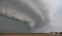
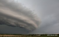
IMG_2515.JPG

IMG_2532.JPG

It was easy to stay ahead of the storm on I-80 as daylight was fading. After shooting some lightning at the Brule, NE exit I called it day and headed for my hotel in McCook, NE.
 
Last edited:
This day was my first chase ever in the Nebraska panhandle. I saw lots of amazing storm structure, a brief funnel, and the horrible road network;)
I left Omaha about 1130, not leaving quite as early as I would have liked. Made it west to Sidney and at that time there was a tornado warned storm in eastern Wyoming and a few other decent cells in the panhandle and in northeastern Colorado. Decided to head north from Sidney up 385 and made it to Bridgeport just after a severe warned storm had apparently dropped a bunch of golf ball sized hail and damaged vehicles in town. There were a couple of cells that had formed to my south. One of the cells was approaching Bridgeport again and looked pretty impressive on radar but had no warning with it. I decided to head back towards Sidney to go after the further south cell. When I got just east of town and looked south towards the closest storm, there was a rather large funnel almost 3/4 of the way to the ground. It lasted no more than a couple of minutes before dissipating. This storm eventually became severe warned as it passed over Bridgeport.

Here's my view of the storm as it approached Bridgeport:
DSC_0124_edited-1.jpg
I headed east on 26 towards Broadwater and let the next storm come up from the south. This storm was severe warned and had beautiful structure:
DSC_0133_edited-1.jpg
DSC_0147_edited-1.jpg

The storm tried to tighten up for a while and a had some strong rotation but didn't last too long.
DSC_0153_edited-1.jpg
After this storm there were new strong cells in northeast Colorado. I've never chased in Colorado so I made a break for it to try and get in front of the storms. There were 2 cells initially before they merged and became a tornado warned storm near Holyoke, CO. I made it Julesburg, CO but couldn't beat the storm and instead got hit by 60-70 mph winds and quarter sized hail on the northern edge of the storm. After that storm passed by, I made my way to McCook, NE to my hotel for the night and to prepare for the next day's chase.
 
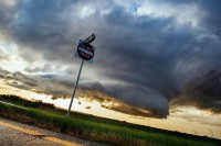
Started the day out of Aurora and headed towards an initial target of Sterling to play northeast of the surface low. We moved up to Sidney, NE as the first towers started to organize. Sitting south of town, we had an interesting brush with the military. Not wanting to be shamed on anyone's dash camera :), we pulled well off Hwy 19 next to, what I assumed, was a gated off natural gas pigging station. After timelapsing the growing Cu towers for a few minutes, we noticed a blue Suburban creeping up towards us. Just thinking it was another chaser, I continued filming until I realized military police were strapped up and stepping out of the vehicle. They were polite, but firmly stated that we needed to leave, and as I was pulling away it dawned on me that we must have been sitting beside a Minuteman III underground missile silo! I'm surely on some list now.
s4d0fFd.jpg


Northwest of Sidney, the initial towers quickly organized into a dominant supercell. A very picturesque wall cloud soon followed and produced many dancing funnels. I was sure at this point we'd get a tornado, but nothing lasted more than a minute. We followed the storm north on 385, tentatively venturing out on the soaked and muddy grid once, before giving up on that idea.

North of Dalton, we were just about to give up on the storm, but l fortunately decided to give it one last chance. Pursuing just behind the rain and hail shafts, we noted a more vigorous RFD slicing in, and we were in perfect position to see the most robust funnel of the day atop the south rim of the North Platte river valley. It was a stunning vantage point - one that we nearly opted out of.
may15_151.jpg


Interest renewed in the storm, we continued north through a flooding Bridgeport and up into the southern edge of the Sandhills (our first time seeing them). We braved the small hail shaft near Angora and were rewarded with one final funnel way up in the updraft vault. Then convection from the south came in and ruined the show.

Heading back south, we sat east of Broadwater to watch another pretty storm roll through. It tried to get going, but by then I think the atmosphere was too crowded and worked over. Still made for a nice final timelapse opportunity. We skimmed the Julesberg storms as we headed south to Goodland for the night, but didn't see anything worth note.

 
Here is a better shot of the surprise tornado we got in 0% Kansas from this day. This was taken by my chase partner Allison.
 

Attachments

  • 11059477_10152724831546058_4992679044975528185_o.jpg
    11059477_10152724831546058_4992679044975528185_o.jpg
    226.7 KB · Views: 277
After timelapsing the growing Cu towers for a few minutes, we noticed a blue Suburban creeping up towards us. Just thinking it was another chaser, I continued filming until I realized military police were strapped up and stepping out of the vehicle.

There was some sort of big military exercise happening that day. I saw several military vehicles staged alongside I-80 west of Sidney with a bunch of roof mounted gear like LIDAR and microwave stuff. I was parked at a truck stop waiting for initiation and two military copters were flying at a very low and very fast speed. Saw the whole convoy of military vehicles travelling west on I-80 after the chase.
 
Back
Top