Marcus Diaz
EF5
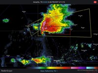
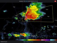
Ohhh you better believe I'm starting this thread. Although we're all scratching our heads on tomorrow (the 8th), I'm SALIVATING over what Saturday is showing. Classic dryline setup in the panhandles and SW KS. We get some impulses way ahead of a closed low off the SoCal coast. Depending on cap strength, this should help initiate storms off the dryline. The plain and simple is this...sharp dryline along the I-27/287 corridor with 60s TDs, massive dryline buldge south of AMA, 30-40 kt 500s, ~25 kt SEly 850s, ~1500 SBCAPE, and some insane helicity values in the eastern TX panhandle. Capping looks to be the only issue. CIN fills in around 0z, but that might be caused by precip signals in the area. Nevertheless, this looks like a solid setup in my home turf for some massive supercells.
Probably the better news is further down the calendar once that low ejects over the warm sector early next week...but that's for another thread.
Probably the better news is further down the calendar once that low ejects over the warm sector early next week...but that's for another thread.