BK Noonan
Enthusiast
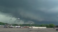
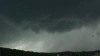
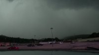
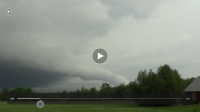
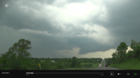
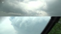
Now that severe weather season is slowly starting to grace us with its presence here in the northeast I wanted to devote a thread to spotting and chasing in the area. I'd like to know who actually chases up here and to highlight weather events that do occur as they seem to be few and far between in our region.