As Marc said, if you're just passing through it's not worth it to go all in and get expensive subscriptions to Allison House, GRLevel3, Pivotal Weather, etc., I would recommend looking at the the College of Dupage's excellent webpage as a one-stop-shop for all things weather forecasting. It's free and gives you access to surface maps, upper air maps, observed/forecast soundings, GOES Satellite, etc. as well as most US-run numerical models.
COD Meteorology -- NexLab Homepage
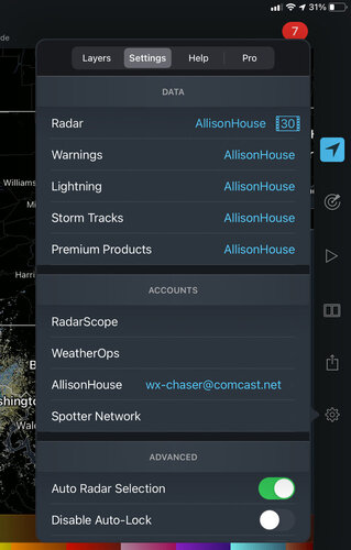
Radarscope is obviously a must, if you're going to buy anything, I recommend getting the Pro Tier 1 subscription, it gives you lightning data, longer radar loops and a couple other things for the reasonable price of $10 yearly. I wouldn't get Pro Tier 2 as it is WAY too expensive for what it gives you in my opinion.
RadarScope - Professional Weather Radar | RadarScope - Professional Weather Radar
The SPC website is also a great resource, Convective Outlooks, Mesoscale Discussions and severe weather Watches/Warnings are very useful if you want a quick heads up on the chances of severe weather in your area without spending too much time on the forecasting side of things. They also give you access to severe weather climatology, observed soundings, upper air maps, etc. if you do a little digging around on the webpage.
NOAA/NWS Storm Prediction Center
For getting real-time weather data, I would say this is all you need, if you want to lean more into the meteorology/severe weather forecasting, there's a load of resources posted or referenced here on stormtrack if you do a little looking around. Hope this helps!
[Thanks for this great information and insight - really appreciate it!