Ethan Schisler
EF5
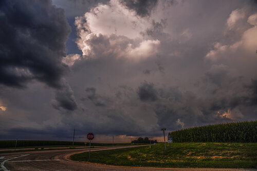
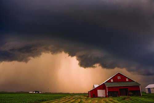
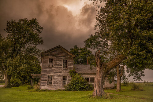
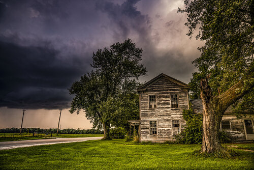
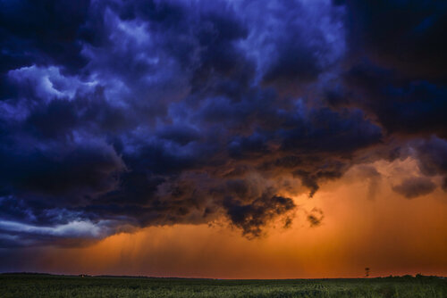
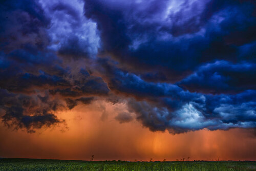
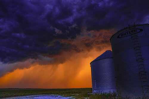
I "chased" a few photogenic sub-severe storms in Schuyler and Hancock Counties on Saturday evening. The chase was rather unremarkable except toward sunset when a rather great photographic op presented itself. The rain being the storm was light enough that it was filtering the sunset through it similar to what I'd see with Colorado storms. Although later I moved my position and was hit with roughly 60 mph winds from a downburst near Bentley, IL. I managed to capture the storm before and up to that point. Here are some stills that I thought were worthy of sharing, I did not alter the colors in the sunset/whales mouth (as some have suggested).
Finally here is a cell I was on earlier in the evening when storms started to fire. It briefly had a wall cloud with weak rotation near Sciota, IL...but dissipated quickly as low level and bulk shear were lacking despite around ~6000 SBCAPE (although I feel like this was probably a bit generous given the BL 80 dew points weren't exceptionally deep and MLCAPE was significantly lower).


Finally here is a cell I was on earlier in the evening when storms started to fire. It briefly had a wall cloud with weak rotation near Sciota, IL...but dissipated quickly as low level and bulk shear were lacking despite around ~6000 SBCAPE (although I feel like this was probably a bit generous given the BL 80 dew points weren't exceptionally deep and MLCAPE was significantly lower).
