That has nothing to do with the topic being discussed. That's an a posteriori argument. We're discussing the signs that were apparent before the event occurred, not what should have been forecast given the known results.
On the other hand, did SPC and LWX handle the situation well? SPC did issue Mesoscale Discussion 1177 at 6:13 PM CDT with a 20% chance of watch issuance with the typical "a WW is not expected, though trends will continue to be monitored" statement. At the time this was issued, they were reportedly working with one report of a brief tornado. However, numerous tornado warnings occurred shortly after, with one of them getting the PDS tag (whether or not it should have happened ... probably a discussion for that "other" thread). There was another downstream Mesoscale Discussion ... 1179 at 9:17 PM CDT ... still reporting on that area of convection ... also with a watch probability of 20%, and reaching into SNJ. So, there is evidence that they were indeed monitoring the situation, at least a little bit
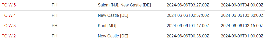
LWX is releasing statements from the surveys (
Tornado Damage Survey Summary), and one of the tornadoes has been surveyed with a 26 mile path length (and a 1 hour and 2 minute duration) and another with a 4.4 mile path length. We'll see if these numbers stick when finalized, but, they have had a number of days to review these.
From a "protection of life and property" perspective, what would have made SPC go from a 20% chance of watch issuance to actually issuing a watch? A lot of folks were certainly confused by the lack of one, especially with a PDS involved.
So, yes, with our current forecasting capabilities, this situation was likely forecast well ... but, this sure does look like a case where they could have (and many would argue should have) issued a watch.
Also, you mentioned looking at the mesoanalysis archive. I always treat the mesoanalysis as a good resource, but not perfect. The process described at
Storm Prediction Center - Mesoscale Analysis Pages is (with some formatting by me but no content changes):
- The system runs at the top of each hour, using the latest 40km RAP forecast grids as a first guess.
- Next, the surface data is merged with the latest RAP forecast/analysis upper-air data to represent a 3-dimensional current objective analysis.
- Finally, each gridpoint is post-processed with a sounding analysis routine called NSHARP to calculate many technical diagnostic fields related to severe storms.
So, most of this relies on the RAP model. No model is perfect, and, once it was clear the the situation was not handled well, other approaches seem warranted (not that I have any good recommendations for those other approaches
")
).