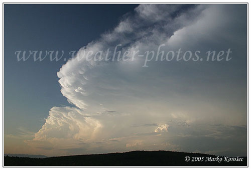
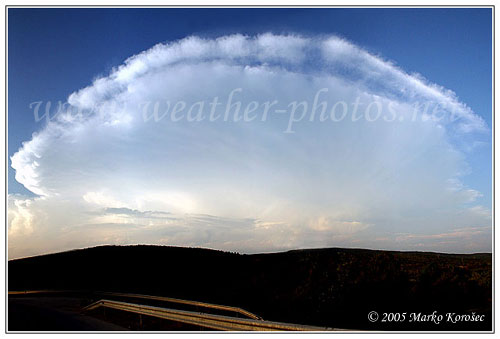
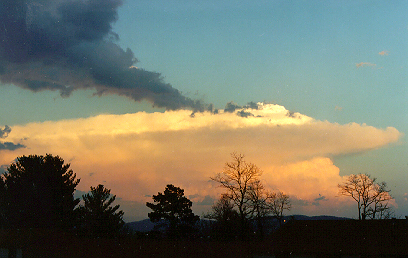
Best Anvil shots- post your best

Picture from Noble, OK looking east on May 8th, 2005
mammatas.jpg

The next 2 are from sometime around like 6 years ago in TX panhandle.
t-storm.jpg

tstorm2.jpg
 
Fricorrected1.jpg


Here's a great anvil in April this year (autumn down here) about 150km's east of Johannesburg.

Big-storm.jpg


Here's an interesting view of a rampaging updraft in the Drakensberg Mountains in December last year.

Linden-North.jpg


Dryline storms over Johannesburg in February this year

Our storm season starts, well soonish, it's early spring here now, but still waiting for the moisture to come back from the tropics up north right now.
 
PICT0012d.jpg


PICT0011d.jpg


PICT0009d.jpg


All of these were taken within 15 minutes of each other, Near Rochelle, IL, on May 24, 2006, I believe Mike Hollingshead has pictures of these two storms from the west side looking east, as I am on the east side looking west.
 
Nice shots all. Keep em coming.
meanwhile I hate to think of the hailstones that would have come out of that anvil Jeremy

:D Best structure I've ever witnessed!

Seriously, there are some great shots in this thread. Too bad I don't see anything that interesting around here. Unfortunately we are extremely lucky to even see this sort of structure in these parts:

54bo9ci.jpg


4oqq26c.jpg


2i7012f.jpg
 
My best anvil - honest!

"Best Anvil shots - post your best" is what the title of the title of the thread says. So here is my best shot at an anvil:
 

Attachments

  • Anvil.jpg
    Anvil.jpg
    30.5 KB · Views: 64
512KStornsuperell.jpg


You could pound out horseshoes on that anvil...it was looking south at the massive
Harper KS supercell on May 12, 2004...as it dropped a tornado in Barber County.
 
Last edited by a moderator:
Anyone remember 2006? Ouch. Well, as a testament to 2006, I offer these, which include pics from deep south TX, Terre Haute IN, and Rapid City SD. I had chased in 7 different states through 2005. In my desperation to catch storms, I ended up adding 8 more states to that list in 2006 alone. The first pic here is a bit of a fav of mine, because it is my only photo of a storm in Mexico. It was shot from Marathon TX. I have neither the photography skills nor equipment of most you on this forum, so I have to substitute quantity for quality:

060317d.jpg


Next one was probably 2006's biggest disappointment to me, as I was sure this baby was about to produce NW of Topeka on April 15:

060415_2235.jpg


Next two are a sup near Seminole TX May 4; moon in first photo:

060505_0124.jpg

060505_0135.jpg


Next, storm outside Terre Haute IN May 25. I have no idea why my camera made it so blue, but attempts to remove the blue made it look even worse. Storm did not "produce":

060525_2057-1.jpg


Storm near Rapid City June 13. Orphaned. Surprise!

060613_2156.jpg


Funniest moment of 2006 was stopping at a gas station in BFE, ND on May 27. I grabbed a couple hot dogs for lunch and ate them inside the station. I finish them, then wander outside, thinking "Hmmm, wonder if the boundary just to the west is producing any cu yet." So I walk around to the back of the station to look, and there are about a gazillion chasers back there.
 
Last edited by a moderator:
Good day,

Here is some of mine ... There are 10 (ten) photos ;-)

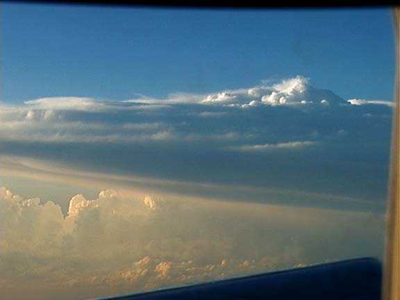
flyanv.jpg


Above: Off FL west coast, 34,000 feet in DC-9 / MD-80. Sept 4, 2006.

m8anv1.jpg


Above: Anvil blowoff. May 23, 2007 (Texas).

m8ss1.jpg


Above: Supercell Knuckles / Anvil. June 7, 2007 (MN / WI).

m5mam2.jpg


Above: Not really "anvil", but the bottom of one (Mammatus). May 29, 2004 in N KS.

m5necc.jpg


Above: Cool CC under anvil. May 21, 2004 in NE.

m5aned.jpg


Above: Dryline meets back-sheared anvil! May 24, 2004 in NE KS.

m6exp1.jpg


Above: Explosive supercell anvil formation. New Mexico, May 25, 2005.

sdanvil.jpg


Above: Rock hard anvil edge peeking through agitated cumulus. East of tornadic supercell. SD on Sept 16, 2006.

moanv1.jpg


Above: Anvil backside near Cape Girardeu. Sept 27, 2006 MO / IL.

m3mam1.jpg


Above: Interesting anvil lightning by sunset. May 28, 2002 in Texas Panhandle.
 
Last edited by a moderator:
I couldn't resist adding some of my pics.

Here is a supercell with a "collapsing dome" that produced a F4 tornado about the time the pic was taken. April 1 1998 that killed two people in Coatesville. View is to the east. Unusual since this I took it in Virginia.

vasup.jpeg


May 16 2003, Texas. The best supercell I saw that storm chase vacation was while flying in.

051603supercell.jpg


May 24, 2004. Blasting south toward storms near Topeka, Kansas.


052404flankline.jpg


Bill Hark
 
Back
Top